Pitney Bowes MapInfo Professional User Manual
Page 69
Each row represents a layer on the map. You can select the following for each layer:
• Selecting the Visible
check box displays a layer on the map.
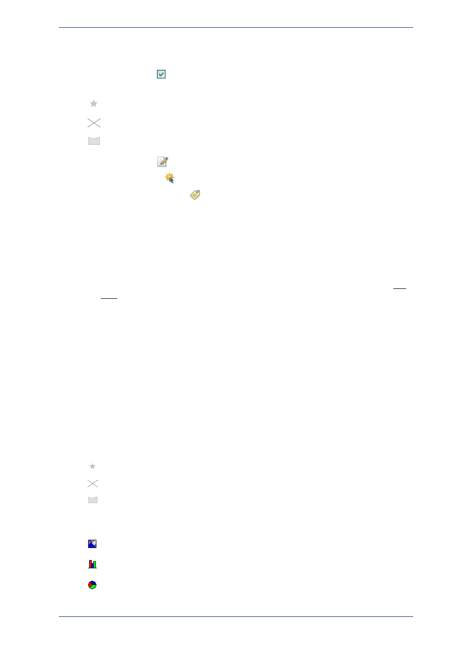
• Clicking the Layer Type icon lets you edit style properties for the items in the layer, such as:
points
lines
regions
• Clicking the Editable
icon makes the layer editable.
• Clicking the Selectable
icon makes a layer selectable in the Map window.
• Clicking the Automatic Labels
icon labels a layer automatically.
The buttons in the Layer Control window are described under
About the Layer Control Buttons
.
Visual indicators in the Layer list provide more information about a layer:
• When a layer is outside of its zoom range, the layer name is dimmed and there is an asterisk (*) beside
the Visible On/Off check box.
• Selecting an object, such as a point or line, in the Map window causes the layer name to appear in
bold.
• When you select a layer, it is highlighted in the list. You can select multiple layers by using the Ctrl
and Shift keys when making your selections.
See also:
•
Map Layers
•
•
Grouping Layers
•
Suspend or Resume Map Drawing
Layer Types
The Layer Type indicate the types of items in the layer, such as points, lines, regions, theme range, or
raster images. If the layer has a style override, then the icon indicates the style. You can show or hide
layer type icons by clicking the Layer Control Options button in the Layer Control window. Layer Type
icons include:
• For points, lines, and regions, click the icon to open the corresponding style dialog box and edit style
properties for the layer.
points
lines
regions
• A layer with a theme shows a thematic icon. For more about thematic layers, see
.
Range Theme
Bar Chart Theme
Pie Chart Theme
69
MapInfo Professional User Guide
Chapter 3: The Basics of MapInfo Professional