Displaying data in a map window – Pitney Bowes MapInfo Professional User Manual
Page 56
There are many different types of windows you can display your data in, depending upon what you need
your data to communicate. This section covers the many ways you can display your data using MapInfo
Professional. Each of these display methods: map, list, graph, and presentation give your information a
different impact. How you display the information you have should depend upon what effect you want.
Consider these options carefully before you select a display type.
• Map windows present information arranged as conventional maps, allowing you to visualize the
geographic patterns of your data (for details, see
Displaying Data in a Map Window
). In addition,
Legend Designer windows present information arranged as map legends, so that you can understand
the symbols and themes used in the map (for details, see
Creating a Legend for your Map
• Browser windows present information as tabular lists (just as conventional databases do), allowing
you to fully examine tabular data (for details, see
Displaying Data in a Browser Window
• Graph windows present information arranged as graphs, allowing you to visualize and make
comparisons of the purely numerical patterns (for details, see
Displaying Data in a Graph Window
• Layout windows present information in a polished and attractive way and can be embedded in other
applications such as Microsoft Word or PowerPoint (for details, see
To switch between windows to change which is active, press the Ctrl+Tab keys.
Note:
Displaying Data in a Map Window
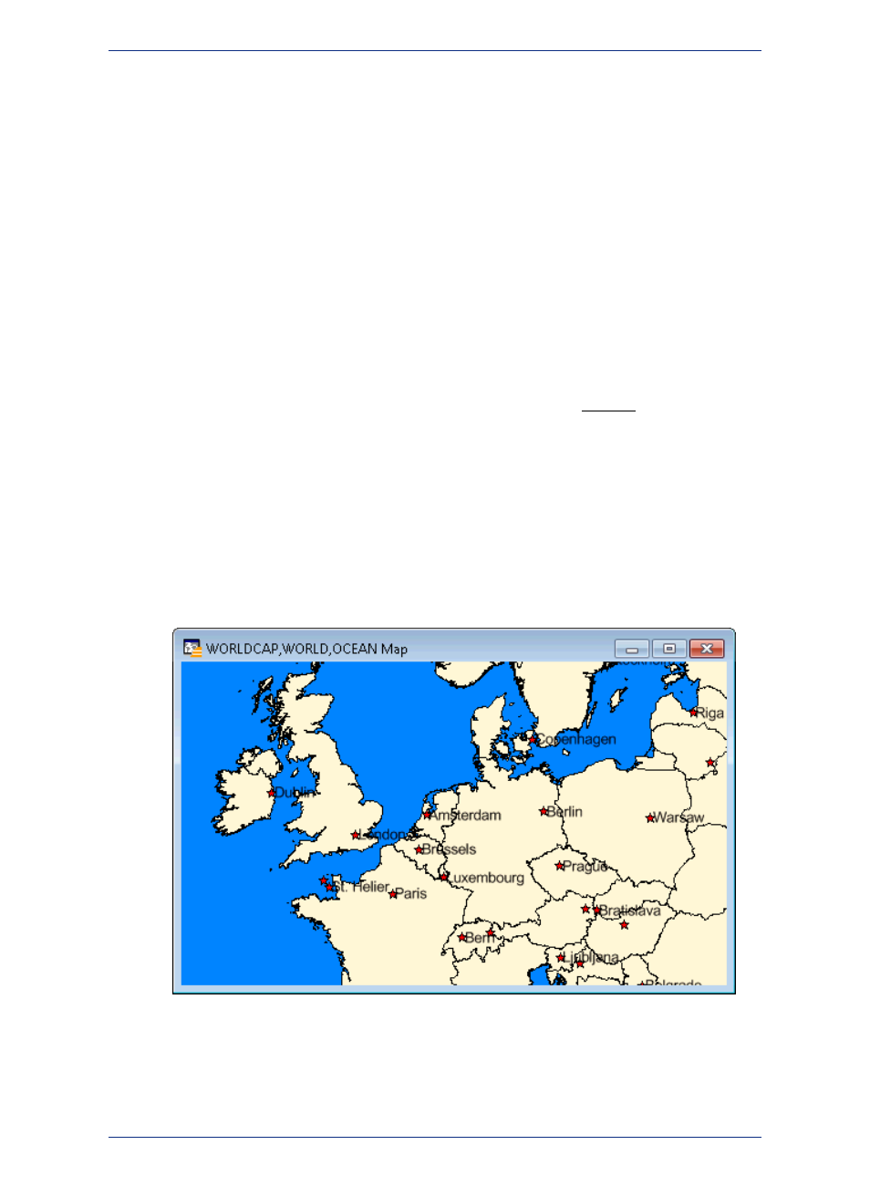
You use Map windows to display the geographic objects from your table on a map. Map windows can
display information from many tables at once, with each table a separate layer.
Opening a Table in a Map Window
You can create your maps or edit existing maps. You can open a Map window directly on the File menu,
by pointing to Open or by pointing to New Map Window on the Window menu.
Getting Around in the Map Window
There are a wide variety of tools that allow you to zoom, pan, and move objects around the Map window.
Zooming allows you to look more closely or more widely at a particular geography. Panning allows you
MapInfo Professional 12.5
56
Reviewing the Windows in MapInfo Professional