Accessing your documentation, Getting started – Pitney Bowes MapInfo Professional User Manual
Page 24
Accessing Your Documentation
MapInfo Professional Documentation Set
The MapInfo Professional User Guide contains a subset of the information found in the MapInfo
Professional Online Help system. If you cannot find the information you are looking for, refer to the Online
Help system, which is installed with the product.
Accessing MapInfo Professional Documentation
You can access the MapInfo Professional files in the Documentation subfolder located in your installation
directory. You can read these files using Adobe Acrobat Reader, which is available on the installation
DVD or by going to the Adobe web site:
Getting Started
This section describes that a map is the visual representation of data files where each data file displays
as a layer on the map.
MapInfo Professional helps you analyze your data on a map for activities such as appraisal, conservation,
forecasting, planning, surveying, demarcating, tracking, or managing. You can tailor maps to your specific
uses for analysis.
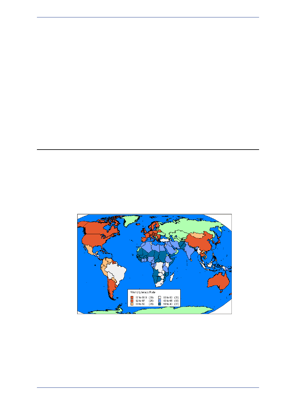
A map is a visual representation of data that has location. MapInfo Professional displays data on the
Earth, such as country boundaries, but can also display data that is relative to itself, such as a building
floor plan. Seeing data visually on a map gives you the locations of where things are, the relative
importance of things through the use of symbols or colors, and the relationships between locations.
Figure 2: World map showing relative literacy rates where each color represents a range of
average values.
Data must be in the form of tables. MapInfo Professional displays data tables as layers on a map. Each
table is a single layer and a map may have many layers (tables) on display. For more information about
how MapInfo Professional represents data on a map, see
A data table organizes information by rows and columns, so that you can easily visualize and manage
information in a database, such as SQL Server, or in data management software, such as Microsoft
Excel. MapInfo Professional access data tables in a database directly or lets you import data tables to
work with them directly in MapInfo Professional's native .TAB format.
MapInfo Professional 12.5
24
Getting Started