Pitney Bowes MapInfo Professional User Manual
Page 396
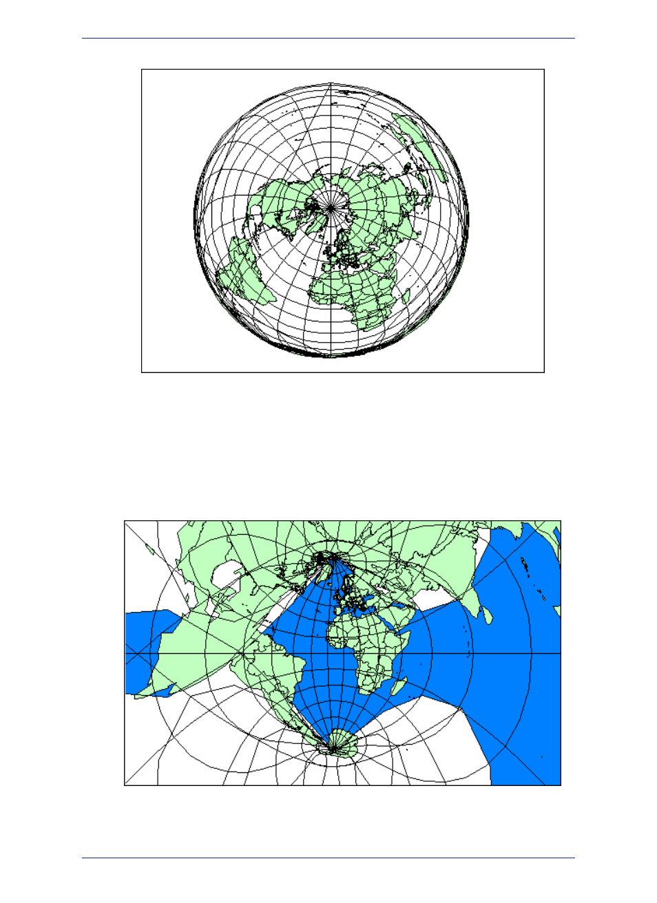
Lambert Azimuthal Projection Map
You can use more than one projection that rotates a cylinder slightly along the Equator. This style is
used in the Universal Transverse Mercator (UTM) projection. UTM maps the Earth with a transverse
cylinder projection to create standard "UTM Zones". By rotating the cylinder around the globe in six
degree increments, the UTM assures that all spots on the Earth are within 3 degrees of the center line.
(The Gauss-Kruger system is a European system akin to UTM that also uses a transverse cylinder
rotated in six degree steps).
Universal Transverse Mercator Projection Map (UTM Zone 29)
MapInfo Professional 12.5
396
Working with Coordinate Systems