Understanding your data in mapinfo professional, What is a layer – Pitney Bowes MapInfo Professional User Manual
Page 52
Opening Special File Types
There are additional file types that MapInfo Professional can read including rasters, grids, and shape
files. For details about working with raster images, see Displaying a Raster Image and Registering the
Coordinates of a Raster Image in the Help System.
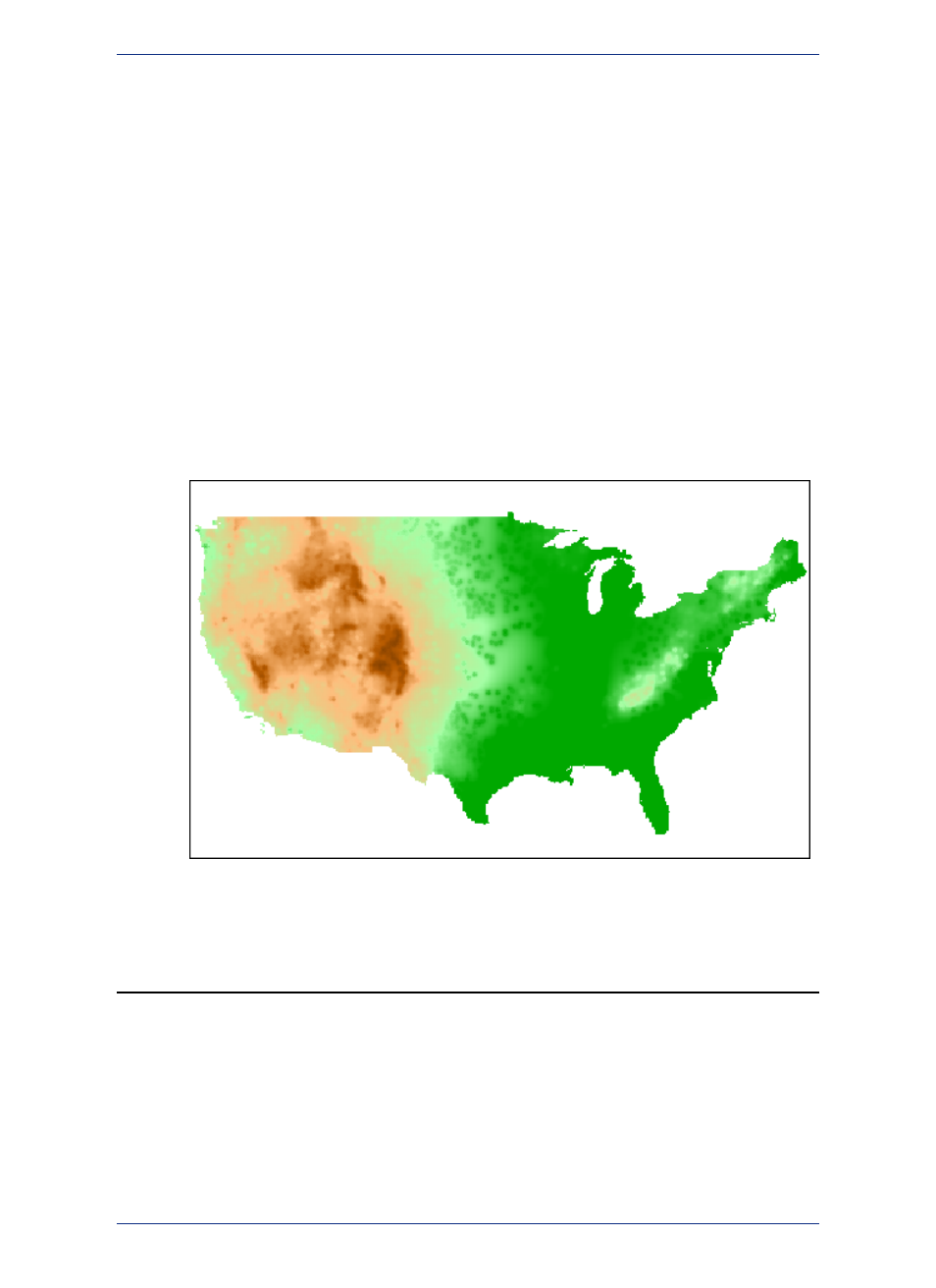
Opening a Grid Layer
A grid layer is a type of thematic map that displays data as continuous color gradations across the map.
To produce this type of thematic map, you interpolate point data from the source table. In MapInfo
Professional, a grid file from the data interpolation is generated and displays as a raster image in a Map
window.
• For more information, see Selecting Point Objects in Grid Files in the Help System.
To open a grid layer:
1. On the File menu, click Open to display the Open dialog box.
2. Select Grid Image in the Files of type drop-down list.
3. Navigate to the directory in which your grid image is located and click the file you want to open.
4. Click Open to display the grid image.
Understanding Your Data in MapInfo Professional
Computer maps are organized into layers. Think of the layers as transparencies that are stacked on top
of one another. Each layer contains different aspects of the whole map.
What is a Layer?
In MapInfo Professional you begin by opening your table of data and displaying it in a Map window. Each
table displays as a separate layer. Each layer contains the table plus any map objects, such as regions,
MapInfo Professional 12.5
52
Understanding Your Data in MapInfo Professional