Characteristics of selections – Pitney Bowes MapInfo Professional User Manual
Page 225
Characteristics of Selections
Selections are temporary tables. When you make a selection, MapInfo Professional creates this temporary
table (called a selection) to store the records you have selected.
You can perform many of the tasks with a selection table that you can perform with a permanent (base)
table such as:
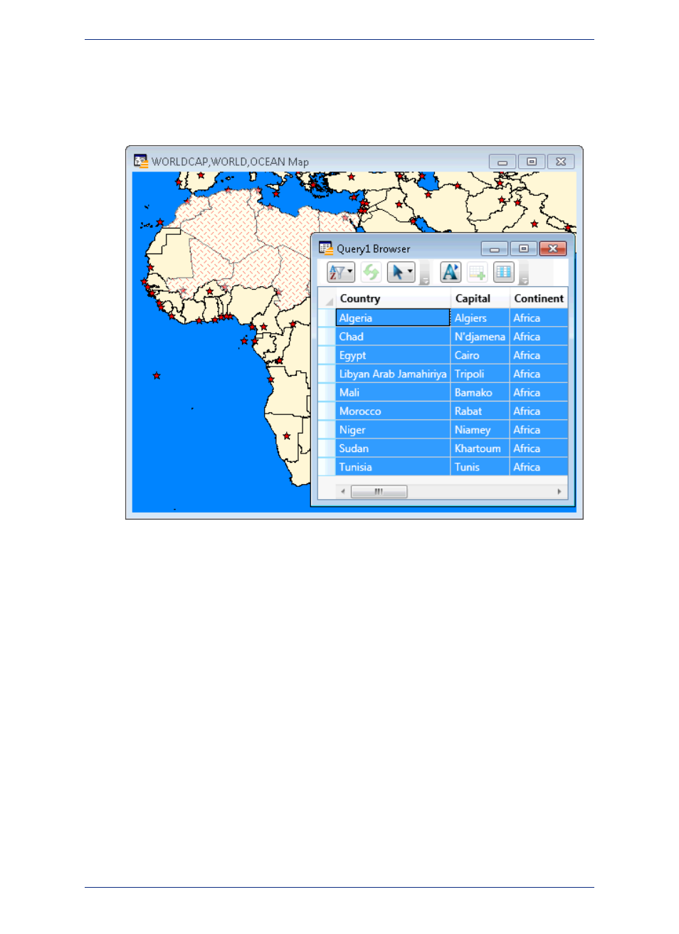
• View it in a Browser, a Map (if it has graphic objects), a Graph, classic Layout window, or a Layout
Designer window.
• Cut and copy it into the clipboard and paste it into another table, or even into another application.
• Use it to edit a table. If you want to edit only certain records in a table, you can get those records into
a selection and then edit that selection.
• Make a further selection from it.
To convert selections into permanent tables, on the File menu, click Save Copy As. Once you have
saved the temporary selection table as a permanent table, you can treat the new table like any other
table. Selection tables are totally dependent on the table from which they were created. If you close a
base table, all associated selection tables are deleted.
Selection Commands and Tool Descriptions
MapInfo Professional gives you a number of commands and tools for making selections. They fall into
two categories:
• Selecting from the screen: Select tool, Radius Select tool, Boundary Select tool, Polygon Select tool,
Marquee Select tool, Invert Selection tool, Select All command. To select records with the tools, click
or encircle the associated graphic objects. To select records from a layer at the same time, on the
Query menu, click Select All. Or, select a layer on the map, right-click to display the context pop-up
menu, and select Select All from Selected Layer.
225
MapInfo Professional User Guide
Chapter 9: Selecting and Querying Data