Leica Geosystems TPS1100 Professional Series - Reference Manual User Manual
Page 71
71
TPS1100 - Appl. Prog. Ref. Manual 2.2.0en
Reference Line
Elevation:
Edit Elev. = OFF
Elevation of the measured point.
DesignElev.
Edit Elev. = ON
Elevation entered by user.
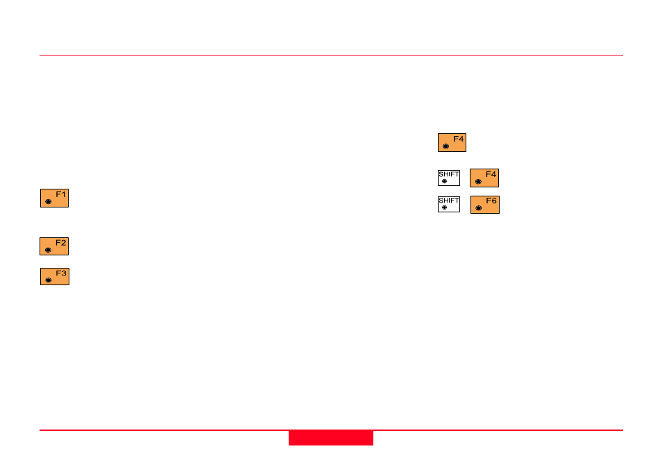
Simultaneously execute
distance measurement and
record the measurement.
Measure a distance.
Record the measurement in
the measurement file.
Results Reference Line, continued
Depending on the settings in the
"Configuration" dialog a log-file is
also generated.
Return to "Define Reference
Line" dialog.
Display
∆
Line from P2.
Exit the program.
Depending on the setting in the
"Configuration" dialog a
measurement block containing delta
values is recorded:
WI 11
Point Number of target
WI 35
∆
Offset
WI 37
∆
Ht
WI 39
∆
Line
or
WI 11
Point Number of target
WI 35
∆
Offset
WI 37
∆
Perpendicular
WI 39
∆
Spatial distance
See also other documents in the category Leica Geosystems Equipment:
- Laser class 2 products - Safety Manual (32 pages)
- Leica DISTO transfer - How to connect (34 pages)
- DISTO + Bluetooth – getting started on Android (24 pages)
- DISTO + Bluetooth – getting started on Windows 8 (24 pages)
- DISTO + Bluetooth – getting started on iOS (27 pages)
- Roteo 20HV, 25H, 35, 35G (31 pages)
- Laser class 3R products - Safety Manual (32 pages)
- Leica 3D Disto - Manual (219 pages)
- GWCL60 (4 pages)
- GKL211 (6 pages)
- GKL112 (6 pages)
- SNLL121 (28 pages)
- Basic Laser Plummet (32 pages)
- GHM007 (2 pages)
- Bluetooth (2 pages)
- FieldGear (6 pages)
- GKL32 (6 pages)
- DIGICAT 500i/550i Safety Guide (186 pages)
- Leica DISTO A2 (10 pages)
- Leica DISTO Classic3 (64 pages)
- Leica DISTO Classic5 (18 pages)
- Leica DISTO D110 – Manual (13 pages)
- Leica DISTO D2 (16 pages)
- Leica DISTO D210 - Manual (14 pages)
- Leica DISTO D3 (26 pages)
- Leica DISTO D3a - Quickstart (2 pages)
- Leica DISTO D3a - User Manual (24 pages)
- Leica DISTO D3a BT (25 pages)
- Leica DISTO D410 - Manual (24 pages)
- Leica DISTO D410 - Quickstart (2 pages)
- Leica DISTO D5 (24 pages)
- Leica DISTO D510 - Quickstart (2 pages)
- Leica DISTO D510 - Manual (31 pages)
- Leica DISTO D8 (24 pages)
- Leica DISTO D810 touch - Quickstart (2 pages)
- Leica DISTO D810 touch - Manual (44 pages)
- Leica DISTO DXT (16 pages)
- Leica DISTO E7300 (14 pages)
- Leica DISTO E7400x (22 pages)
- Leica DISTO E7500i - Quickstart (2 pages)
- Leica DISTO E7500i - Manual (32 pages)
- Leica DISTO lite5 (12 pages)
- Leica DISTO plus - Manual (16 pages)
- PlusDraw (19 pages)
- PlusXL (15 pages)