Insert point coordinates, Road+ file editor – Leica Geosystems TPS1100 Professional Series - Reference Manual User Manual
Page 175
175
TPS1100 - Appl. Prog. Ref. Manual 2.2.0en
Road+ File Editor
File Type
Displays the type of file that is being
created.
File Name
Input any DOS-legal file name.
Decimals
Select the number of decimal places
to be used in this file.
Press to create the new file
and continue to the Insert
Record dialog. (
Go to Dialog "Insert
Record".)
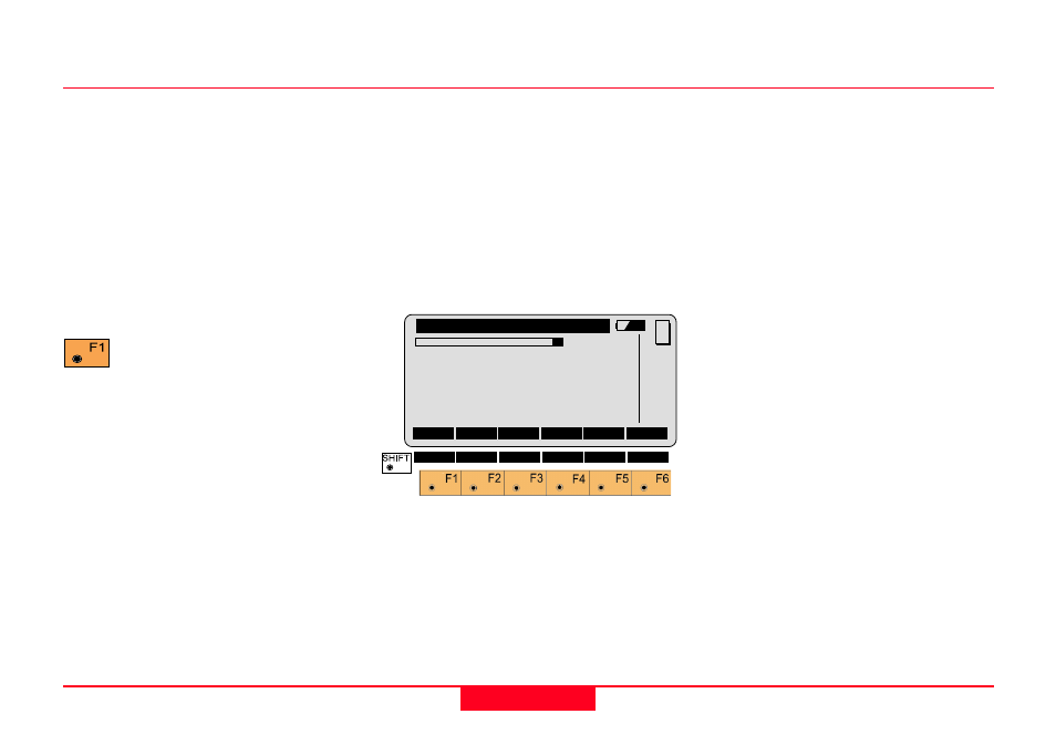
Insert Point Coordinates
You will see this dialog if you selected
"Insert Point Coordinates" on the
previous dialog. The scrollbar at the
top of this dialog graphically shows
your position in the current file. The
numbers to the right of the scrollbar
show the number of the current
record / the total number of records
in the current file.
Point Id
You may edit the Point Identifier
offered here, or press Enter to accept
it and move to the next input field.
This is the only field that may be
edited in existing records.
East
The Easting or X ordinate of the point
you wish to create. You may edit this
value only when creating a new point.
North
The Northing or Y ordinate of the
point you wish to crate. You may edit
this value only when creating a new
point.
Elev
The Elevation or Z ordinate of the
point you wish to create. You may
edit this value only when creating a
new point.
New Coordinate File, continued
REdit\
View/Edit File
23/23
Point Id
:
50
East
:
1.500 m
North
:
2.000 m
Elevation :
1.700 m
INS
DONE
<--
-->
IMPOR
MC
¦<<- ->>¦ SEARC QUIT