Cogo – Leica Geosystems TPS1100 Professional Series - Reference Manual User Manual
Page 159
159
TPS1100 - Appl. Prog. Ref. Manual 2.2.0en
COGO
Return to "Intersections".
Changing between both
solutions
The following results have
been stored in the active
measurement data file:
WI 11 Station Point Number
WI 81 Easting coordinate
WI 82 Northing coordinate
WI 83 Elevation (optional)
If "Point Id" has not been entered, the
function is not available.
Call up the program
"Stakeout".
The program "Stakeout" assumes
that the instrument is set and
oriented to a known point.
If "Point Id" has not been entered, the
function is not available.
Exit the program.
Distance-Distance Intersection, continued
The following dialog box shows the
result of the distance/distance
intersection:
Point Id
Entering point number of the bearing-
bearing
East
Display of east coordinate
North
Display of north coordinate
Elevation
Entering height (optional)
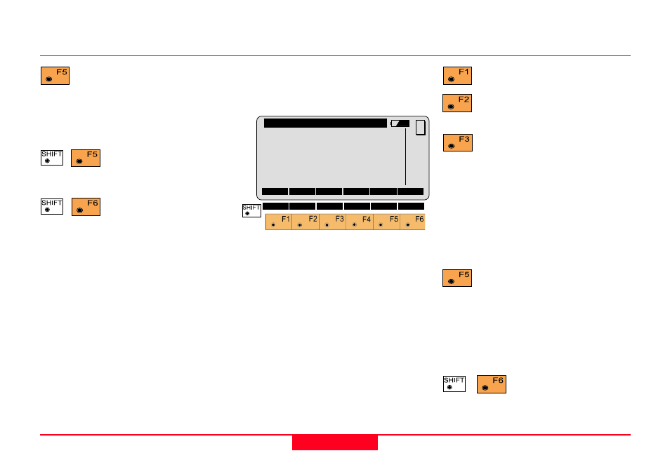
COGO\ Dist-Dist Results
Point Id
:
-----
East
:
0.000 m
North
:
0.000 m
Elevation :
-----
CONT OTHER STORE
STAKE
MC
QUIT
INPUT Entering radius
RCALL Call up of a radius
which has been previously stored
using the function "Polar
calculation".
Changing the direction
(as dialog box "Modify
Distance").
Exit the program.