Leica Geosystems TPS1100 Professional Series - Reference Manual User Manual
Page 226
226
TPS1100 - Appl. Prog. Ref. Manual 2.2.0en
Road+
Sets the station to the
value of the last
measurement.
The "
∆∆∆∆∆
St=0" function is
not available until a
distance is measured.
In addition, the horizontal distance
from centerline is displayed which is
-0.409 m for this example.
After moving to a new location,
measure a distance to the prism and
view the results. When the "
∆
XS Hgt
Diff" and "
∆
Station" are at or near
zero the catch point has been located
both vertically and horizontally for the
chosen chainage.
Record the staked out
position.
The "SLOPE STAKING" display
returns and another catch point can
be staked.
Exit the slope staking
program.
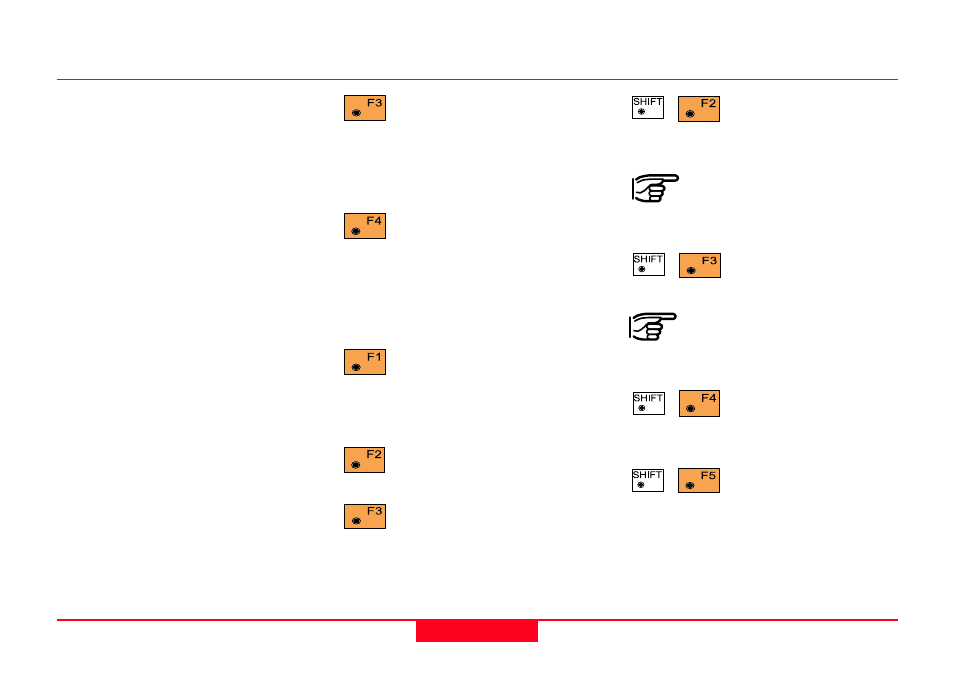
• SLOPE STAKING Menu Function
Key Summary
Measures the distance to the
target, and automatically
records the data as defined by the
currently set recording mask.
Measures the distance only,
and updates the display.
Records the information for
the current measurements.
Stores the data to the
log file.
The STORE function is not
available until a distance is
measured.
Switches between face
one and face two for
measurements.
After a measurement
is made to the prism
pole the "REFPT" option will be
available. See section "Reference
Point" for a detailed discussion of this
option.
Slope Staking, continued