Instrument system, Define instrument plane, Point measurement, continued – Leica Geosystems TPS1100 Professional Series - Reference Manual User Manual
Page 262
262
TPS1100 - Appl. Prog. Ref. Manual 2.2.0en
Point Measurement, continued
Measure and record data in
active Meas job and logfile if
configured.
Measure a distance.
Record data in active measure
job and Logfile if configured.
Increment Point Id.
Clear distance and increment
PtId without recording data.
Return to Define Offset dialog.
GSI file always stores
instrument system
information. For local system
information turn Logfile ON (see
chapter "Configuration").
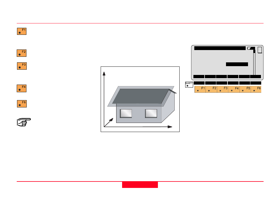
Instrument system
The "Define Point" dialogs for
instrument systems are the same as
for local systems. The plane
coordinate system is not defined by
the user. Points on the plane have
instrument coordinates.
1
100pr96
N
H
E
Define Instrument Plane
The “Define Plane” dialog combines
standard deviation and offset.
REFP\ Define Plane
No. of Pts:
4
s0
:
0.020 m
Offset
:
0.000
m
Offset Pt.:
-----
MC
CONT ADD P
OFFS
MORE
NEW
No. of Pts
Number of points used for
calculation.
s0
Standard deviation of the plane.
Offset
Enter value or measure point to
offset the plane. Offsets are applied
in the direction of the normal vector.
Offset Pt.
Displays PtId of measured point.