Leica Geosystems TPS1100 Professional Series - Reference Manual User Manual
Page 15
15
TPS1100 - Appl. Prog. Ref. Manual 2.2.0en
Orientation and Height Transfer
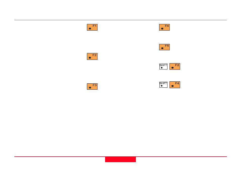
Measure more points. The
program will recall the
"TARGET POINT" dialog.
Show the results of individual
measurements on the screen
(
see dialog "More Information").
Select between the
"Robust" method and
the "Least Square" method.
Sketch of the station
and the reference
points used.
Calculation, continued
East
Easting of the station
North
Northing of the station
Elevation
Calculated elevation of the station
Orientation
Oriented direction
σσσσσ
Elevation
Standard deviation of the Elevation
σσσσσ
Orient
Standard deviation of the Orientation
Set orientation on the
instrument.
Note that once this key has been
pressed it will not be possible to
execute more measurements.
Set station elevation on the
instrument.
Note that once this key has been
pressed it will not be possible to
execute more measurements.
Record the following results
into the active measurement
job
WI 11
Station Point Number
WI 25
Orientation correction
WI 84
Station Easting
WI 85
Station Northing
WI 86
Station Elevation
WI 87
Last reflector height used
WI 88
Instrument Height