Line offset, Stakeout – Leica Geosystems TPS1100 Professional Series - Reference Manual User Manual
Page 39
39
TPS1100 - Appl. Prog. Ref. Manual 2.2.0en
Stakeout
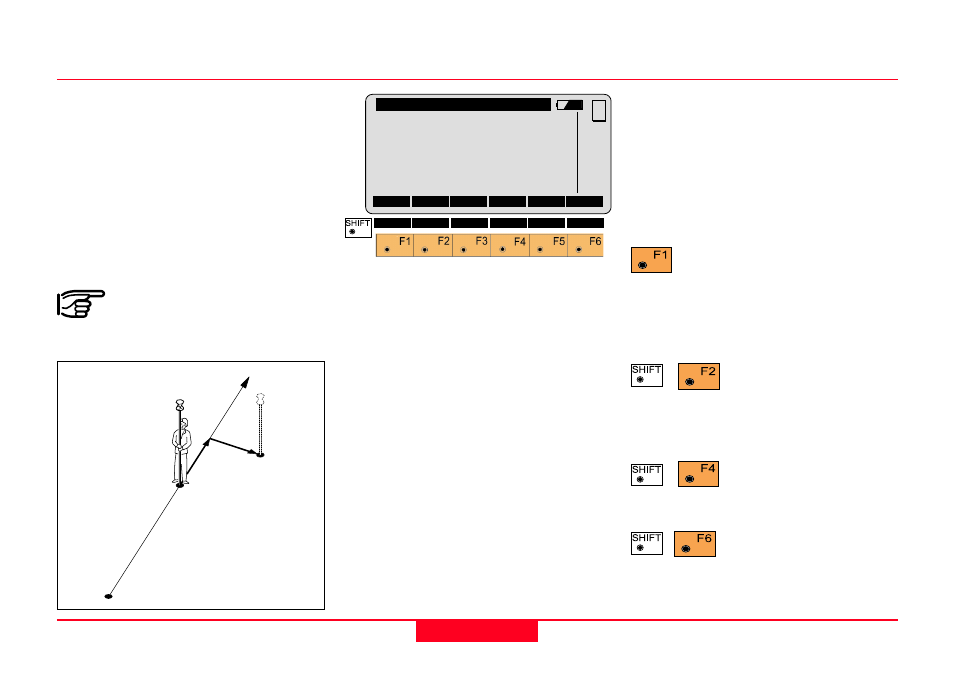
Line Offset
The stakeout values of each point
are computed in relation to the base
formed by the last two points.
If the elevation is known for the point
to be staked out, the height
difference in relation to the last base
point (Pt2), is displayed. In particular,
this method is advantageous for long
objects (traffic routes).
Values for positioning are
only displayed after two
stakeout points.
Point Id
Point Id of the point to be staked.
Azimuth
Azimuth from the station to the point
to be staked.
Hz
Present theodolite direction. Note, if
the instrument is oriented and the
azimuth and Hz angle are
corresponding, the instrument is
pointing to the point to be staked.
Line
Distance along the line defined by the
last two points staked.
Offset
Orthogonal offset from the defined
line.
∆∆∆∆∆
Height
Height difference from the last point
staked.
Proceed to "STAKEOUT".
Motorized theodolites can
drive the telescope to the horizontal
and vertical direction of the point to
be staked.
Change stakeout
method. For more
information refer to chapter "Select
Stakeout Method".
Generate a plot of the
stakeout data. For
more information to chapter "Plot".
Exit the program.
STAKE\
Line Offset
Point Id
:
12
Azimuth
:
90°10'02''
Hz
:
98°34'45''
Line
:
4.105 m
Offset
:
1.250 m
∆∆∆∆∆
Height
:
0.340 m
STAKE
MC
METHD
PLOT
Line+
1
100pr09
12
11
10
Offset+