Cogo, Three point arc, continued – Leica Geosystems TPS1100 Professional Series - Reference Manual User Manual
Page 168
168
TPS1100 - Appl. Prog. Ref. Manual 2.2.0en
COGO
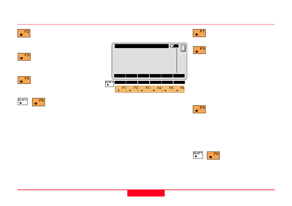
Measuring the first resp. the
second resp. the third arc
point.
Manual entering of the first
resp. the second resp. the
third arc point.
Search and display the
coordinates of the point found
in the active data job.
Exit the program
The following dialog box shows the
results of the calculation:
Return to the "COGO
MENU".
The following results have
been stored in the active
measurement data file:
WI 11
Station Point Number
WI 81
Easting coordinate
WI 82
Northing coordinate
WI 83
Elevation (optional)
If "Point Id" has not been entered, the
function is not available.
Call up the program
"Stakeout".
The program "Stakeout" assumes
that the instrument is set and
oriented to a known point.
If "Point Id" has not been entered, the
function is not available.
Exit the program.
Point Id
Entering point number of the circle
centre
East
Display of east coordinate
North
Display of north coordinate
Elevation
Entering height (optional)
Radius
Display of radius arc
Three Point Arc, continued
COGO\ Radius Pt Results
Point Id
:
-----
East
:
0.000 m
North
:
0.000 m
Elevation :
-----
Radius
:
0.000 m
CONT
STORE
STAKE
MC
QUIT