Allied Telesis AT-FS970M Series User Manual
Page 300
Chapter 25: LLDP and LLDP-MED
300
Altitude Type— Choose between meters and floors.
Altitude Resolution— Enter altitude resolution as the number of
valid bits. The range is 0 to 30.
Datum— Select the geodetic system (or datum) of the
coordinates. Choose one of the following:
WGS84: World Geodetic System 1984
NAD83_NAVD: North American vertical datum 1983
NAD83_MLLW: Mean lower low water datum 1983
7. Click Apply.
Creating an
Emergency
Location
Identification
Number (ELIN)
Location
The ELIN TLV specifies the location of a network device by its Emergency
Location Identifier Number (ELIN).
To create an LLDP ELIN location, do the following:
1. Hover the cursor over the Discovery & Monitoring tab.
The Discovery & Monitoring tab is displayed. See Figure 122 on
page 284.
2. From the Discovery & Monitoring tab, hover over LLDP.
The LLDP tab appears on the right.
3. From the LLDP tab, move the cursor to the right and hover over
Locations.
The Locations tab is displayed. See Figure 129 on page 295.
4. From the Locations tab drop-down menu, move the cursor to the right
and select ELIN.
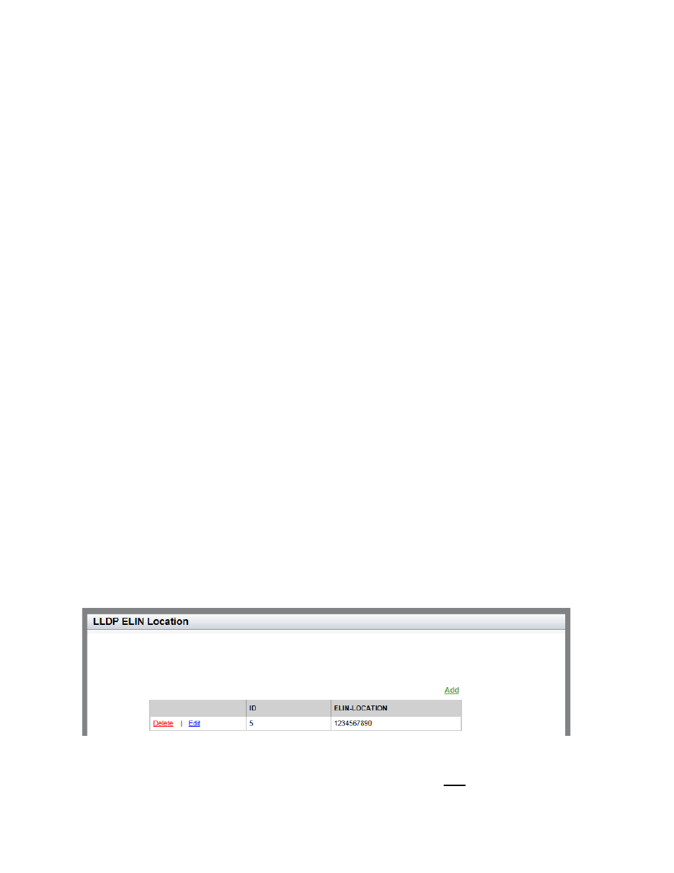
The LLDP ELIN Location List page is displayed. See Figure 134.
Figure 134. LLDP ELIN Location List Page
5. From the LLDP ELIN Location page, click Add.