Mapping, Introduction to mapping, Mapping features – Ag Leader EZ-Guide 500 Getting Started Guide User Manual
Page 87: Introduction to mapping mapping features
Mapping
Introduction to Mapping
The EZ−Guide 500 can map point, line and area features.
Note: Mapping is disabled if you do not have good quality GPS.
To enter mapping mode, select the
icon and press
.
While in mapping mode:
you can map point, line and area features, including exclusion zones for EZ−Boom
•
you can engage and disengage EZ−Steer
•
EZ−Boom still operates, but no boom status indicators are shown
•
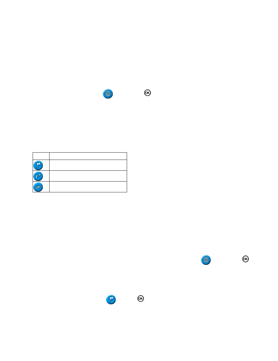
In mapping mode, the following feature mapping icons appear on the right of the screen:
ITEM
DESCRIPTION
Display point feature mapping icons
Display line feature mapping icons
Display area feature mapping icons
Mapped features are saved with the field. To see mapped features when you return to a field, you must reload the
field and start a new event or continue with an existing event.
The mapped features are exported with the field and can therefore be imported into the EZ−Guide 250 lightbar
and the AgGPS FieldManager display. For more information, see
Mapping Features
To map features, you must be in mapping mode. To enter mapping mode, select the
icon and press
.
Mapping point features
To map a point feature:
From mapping mode, select
and press
. The point feature mapping icons appear.
1.
83