Leica Geosystems Leica mojo3D - User Manual User Manual
Leica user manual mo j o3d
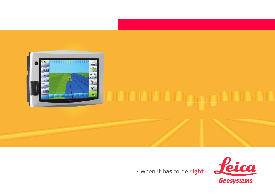
Table of contents
Document Outline
- Introduction
- Table of Contents
- 1 System Overview
- 2 System Installation
- 3 Running the mojo3D for the First Time
- 3.1 Starting Up
- 3.2 Setting the Screen Calibration
- 3.3 Initial Setup Wizard
- 3.4 Menu Buttons at Right of Screen
- 3.5 Menu Buttons at Left of Screen
- 3.6 Specifying Data for Display
- 3.7 Zoom Buttons
- 3.8 View Modes
- 3.9 Error Notifications
- 3.10 Running the Setup Wizard at any Time
- 3.11 Changing System Settings
- 3.12 Vehicle Setup
- 3.13 Attached Device Selection
- 3.14 NMEA Configuration
- 3.15 Feature Unlock
- 4 Setting Guidance Types
- 5 Auto-Steer
- 6 Treatments
- 7 Automatic Section Control
- 8 Field Boundary
- 9 Vehicles and Implements
- 10 Correction Sources
- 11 NMEA Output
- 12 Virtual Wrench™ Remote Service
- 13 Care and Transport
- 14 Safety Directions
- 15 Technical Data
- 15.1 mojo3D Display Technical Data
- 15.2 mojo3D GPS Receiver Technical Data
- 15.3 Wireless Modules Technical Data
- 15.4 Antennas Technical Data
- 15.5 mojoXact Technical Data
- 15.6 mojoXact GPS Receiver Technical Data
- 15.7 mojoXact Plus Technical Data
- 15.8 mojoXact Plus GPS Receiver Technical Data
- 15.9 Conformity to National Regulations
- 16 International Limited Warranty, Software License Agreement
- Appendix A mojo3D Enhancements
- Appendix B Formatting USB Flash Drives
- Appendix C GNU General Public License
- Appendix D Glossary of Terms