Leica Geosystems Leica mojo3D - User Manual User Manual
Page 73
Leica mojo3D, Setting Guidance Types
73
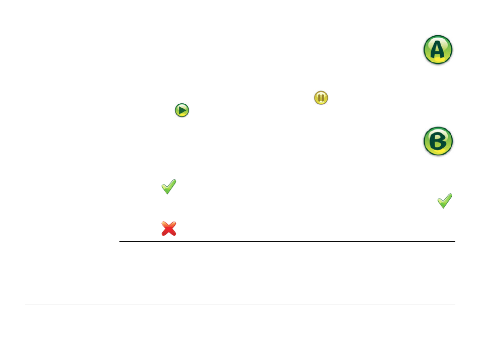
6. On the dialog box that appears:
• tap
to save the wayline to memory.
An on-screen keyboard appears. Enter a name for the wayline, and tap
.
OR
• tap
to use the wayline without first saving it to memory.
3. Position your vehicle in the field at the point where you want to
start (waypoint A), and tap the A point button.
4. Drive along the contour. At least 30 m (100 feet) must be travelled before
waypoint B can be entered.
To record a straight line segment: Tap
to start the straight line, then
tap
to continue recording the contour.
5. Tap the B point button on screen when at the end of the contour
to complete the recording.
See also other documents in the category Leica Geosystems Equipment:
- Laser class 2 products - Safety Manual (32 pages)
- Leica DISTO transfer - How to connect (34 pages)
- DISTO + Bluetooth – getting started on Android (24 pages)
- DISTO + Bluetooth – getting started on Windows 8 (24 pages)
- DISTO + Bluetooth – getting started on iOS (27 pages)
- Roteo 20HV, 25H, 35, 35G (31 pages)
- Laser class 3R products - Safety Manual (32 pages)
- Leica 3D Disto - Manual (219 pages)
- GWCL60 (4 pages)
- GKL211 (6 pages)
- GKL112 (6 pages)
- SNLL121 (28 pages)
- Basic Laser Plummet (32 pages)
- GHM007 (2 pages)
- Bluetooth (2 pages)
- FieldGear (6 pages)
- GKL32 (6 pages)
- DIGICAT 500i/550i Safety Guide (186 pages)
- Leica DISTO A2 (10 pages)
- Leica DISTO Classic3 (64 pages)
- Leica DISTO Classic5 (18 pages)
- Leica DISTO D110 – Manual (13 pages)
- Leica DISTO D2 (16 pages)
- Leica DISTO D210 - Manual (14 pages)
- Leica DISTO D3 (26 pages)
- Leica DISTO D3a - Quickstart (2 pages)
- Leica DISTO D3a - User Manual (24 pages)
- Leica DISTO D3a BT (25 pages)
- Leica DISTO D410 - Manual (24 pages)
- Leica DISTO D410 - Quickstart (2 pages)
- Leica DISTO D5 (24 pages)
- Leica DISTO D510 - Quickstart (2 pages)
- Leica DISTO D510 - Manual (31 pages)
- Leica DISTO D8 (24 pages)
- Leica DISTO D810 touch - Quickstart (2 pages)
- Leica DISTO D810 touch - Manual (44 pages)
- Leica DISTO DXT (16 pages)
- Leica DISTO E7300 (14 pages)
- Leica DISTO E7400x (22 pages)
- Leica DISTO E7500i - Quickstart (2 pages)
- Leica DISTO E7500i - Manual (32 pages)
- Leica DISTO lite5 (12 pages)
- Leica DISTO plus - Manual (16 pages)
- PlusDraw (19 pages)
- PlusXL (15 pages)