Importing and exporting field boundaries – Kinze Ag Leader Integra User Manual
Page 52
36
Firmware Version 5.2
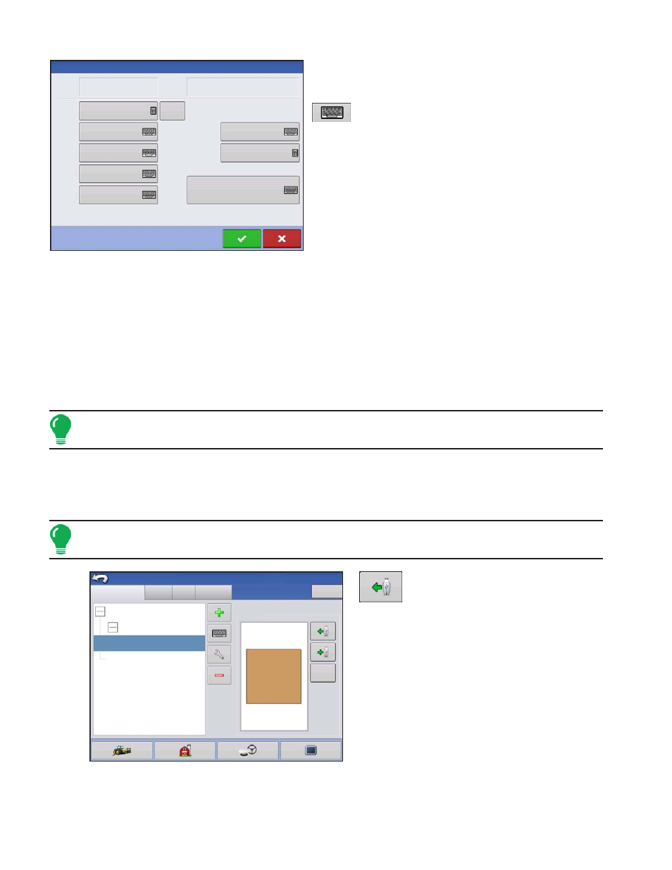
The Field Information screen opens, showing the
name of that field in the Title Bar. Field Name
information that can be added or edited by pressing
including Farm, County, Township, Range,
Section Number, Area, FSA Number, FSA Area and
Legal Description.
• Area
shown in the total acres (hectares) of the field.
• FSA Number
refers to the U.S. Farm Service Agency’s four-digit number assigned to every field.
• FSA Area
refers to tillable acres as established by the FSA.
• Clear Bounds button
Press to center the map on the current GPS position.
Note: The Clear Bounds feature is particularly useful if you have flyer points or have logged a point outside
the mappable range of your current location.
Importing and Exporting Field Boundaries
Boundaries can be created with the display or imported from desktop GIS software. Any boundary files
present in the display can also be exported for use in desktop mapping software.
Note: For more information on creating boundaries, see
.
•
USB Import button
To import a boundary from the USB drive, first go
to the Setup Field tab, highlight the correct field in
the Farm/Field list and press the USB Import
button.
Low 80
Sheldon
Field
Area
County
Township
Range
Section
FSA Number
FSA Area
Legal Description
Farm
Clear
Bounds
Field Information
0 ac
0 ac
Grower/Farm/Field
Season
Users
Contacts
Grower: Gene Eilers
Farm: Sheldon
Grower: Seth
Field: Low 80
True Area:
Boundary
Management Setup
Clear
40 ac
39.92 ac
Businesses