Positioning the imagery in the viewer – Google Earth User Guide User Manual
Page 82
The image appears in the 3D viewer, with anchor points that you use to
position it.
5. Specify the descriptive information for the overlay. Descriptions for
overlays are identical to descriptions for all places data. See
for details.
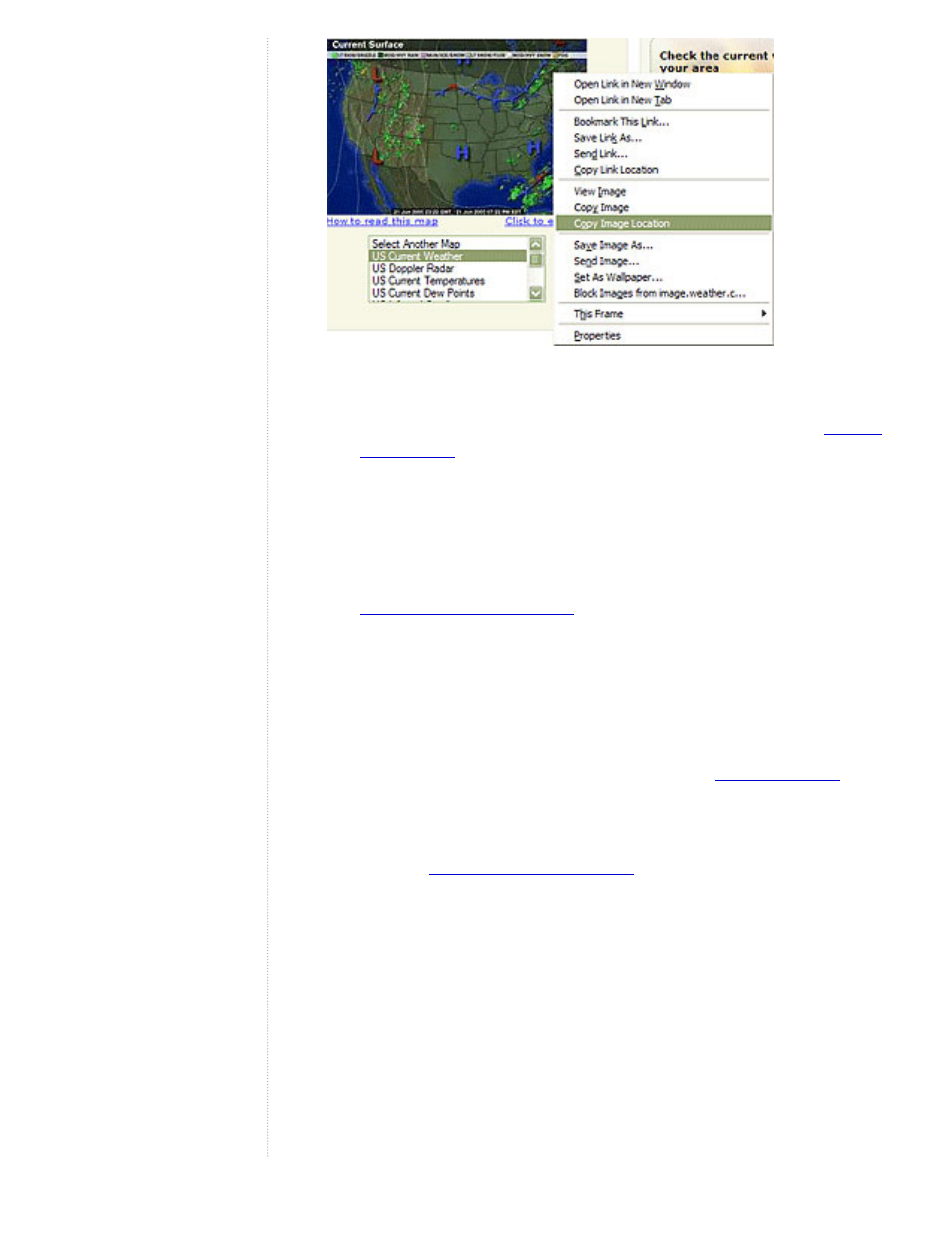
6. Click the Refresh tab and set the correct refresh properties for your overlay
imagery. The refresh settings for overlays are identical to those described
for network links. Typically, any imagery that is updated automatically and
located on a server will need refresh properties set. For example, weather
satellite image maps will likely need to be refreshed. For details on the
differences between time-based and view-based refresh, see the
7. Set the default transparency for the imagery using the slider. The
transparency setting for image overlays can be adjusted at any time when
you are viewing an overlay. To make it easy to position the overlay, first
adjust the transparency to achieve a good balance between seeing the
imagery and the earth beneath it.
8. When you select the View tab, you can modify the view settings for the
overlay just as you would any place data. See
9. Position the image in the viewer to your preferences and click OK to
complete the creation. If you later want to correct the overlay or reposition
it, simply edit the overlay as you would any other places data. See the
topics in
for more information.
Positioning the Imagery in the Viewer
Once you have inserted the overlay image into the viewer, you can use the green
markers to stretch and move the image in a number of ways to get the most exact
positioning required. An overlay image will have corner and edge marks that you
can use to stretch the image, a central cross hair marker to position the image,
and a triangle marker that you can use to rotate the image.
When you select one of these markers, the cursor changes from an open hand to
either a finger-pointing hand or an arrow to indicate that an anchor point is
selected. The following illustration describes the anchor points in detail.