Viewing 3d buildings, Display 3d buildings – Google Earth User Guide User Manual
Page 37
you see only major boundaries. When you zoom in to a more confined
region, you might see state or county labels depending upon your viewing
elevation.
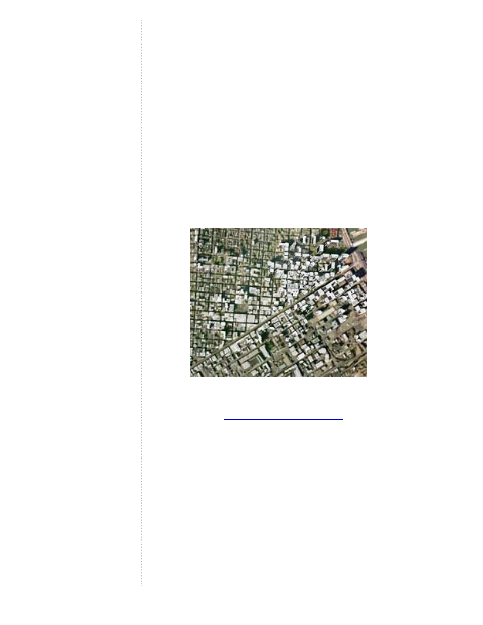
Viewing 3D Buildings
Some geographic areas in Google Earth database display simple 3D
buildings. To view these:
1. Turn on the 3D building layer by selecting the 3D Buildings folder
check box in the Layers tab.
2. Position the viewer within a reasonable viewing altitude over a major
city such as San Francisco. Some 3D buildings start to appear from
an eye-elevation of 10,000 to 12,000 feet. Check the eye-elevation
meter on the lower right of the 3D viewer to determine your current
viewing height. The 3D buildings appear as light grey objects over the
imagery of the city.
3. As you zoom in, more details will appear until you can see the entire
shape of a building.
4. Use the
tilt and rotate navigation tools
to get the best view of the
buildings.
- Message Archiving Administration Guide (79 pages)
- Apps Technical Transition Guide For Business, Education, and Government (56 pages)
- Message Continuity User Guide (5 pages)
- Search Appliance User Experience Guide (31 pages)
- Apps Directory Sync Administration Guide (146 pages)
- Android 2.3.4 Users Guide (384 pages)
- Android 3.0 Users Guide (140 pages)
- Galaxy Nexus Android mobile technology platform 4.0 Users Guide (107 pages)
- Anywhere+ Deployment Guide V1.0.1 (51 pages)
- Activation Guide Message Filtering (46 pages)
- DoubleClick Rich Media Guide to Rich Media Innovation (4 pages)
- Remarketing in AdWords Seven-Minute Setup Guide (4 pages)
- Grants Beta A BEGINNERS GUIDE (13 pages)
- Search Appliance OneBox for Enterprise Developers Guide (30 pages)
- Search Appliance Feeds Protocol Developers Guide (45 pages)
- SketchUp: Getting Started (2 pages)
- Agency Product Guide (2 pages)
- Changes to AdWords Reporting A Comprehensive Guide (13 pages)
- Search Appliance Connectors Administration Guide (41 pages)
- Search Appliance Guide to Software Release 7.0 (10 pages)
- DTorial: An interactive tutorial framework for blind users in a Web 2.0 world (14 pages)
- Networking Best Practices for Large Deployments (42 pages)
- Apps Migration for Lotus Notes Installation & Administration Guide (100 pages)
- Understanding Visualization by Understanding Individual Users (5 pages)
- Web Security for Enterprise Administration Guide (83 pages)
- Education – access infrastructure guide (11 pages)
- Message Continuity Setup and Administration Guide (33 pages)
- Search Appliance Getting the Most from Your Google Search Appliance (77 pages)
- Search Appliance Getting the Most from Your Google Search Appliance (82 pages)
- Commerce Search Deployment Guide (29 pages)
- Apps Migration for Microsoft Exchange Administration Guide (78 pages)
- Grants Ongoing Management Guide (26 pages)
- Custom Search Engine (beta) Starter Guide (8 pages)
- Search Appliance Policy ACL API Developers Guide (24 pages)
- PRINCIPLES OF MOBILE SITE DESIGN: DELIGHT USERS AND DRIVE CONVERSIONS (42 pages)
- Search Engine Optimisation Starter Guide (22 pages)
- Website Optimizer v 1.0 The Techie Guide (26 pages)
- Search Appliance Creating the Search Experience (141 pages)
- Apps Security and Compliance Services Web Services Application Programming Interface Guide, Early Access Version 1.5 (70 pages)
- Message Security Batch Reference Guide (561 pages)
- Message Archiving Microsoft Exchange Journaling Configuration Guide For Exchange Server 2007 and 2010 (33 pages)
- Search Appliance Authentication/Authorization for Enterprise SPI Guide (33 pages)
- AdMob Case Study TV Guide Digital (2 pages)
- Apps Connector for BlackBerry Enterprise Server Installation and Administration Guide (70 pages)