Open table dialog – Pitney Bowes MapMarker USA User Manual
Page 257
Appendix A:
MapMarker Dialogs
MapMarker USA 25
257
User Guide
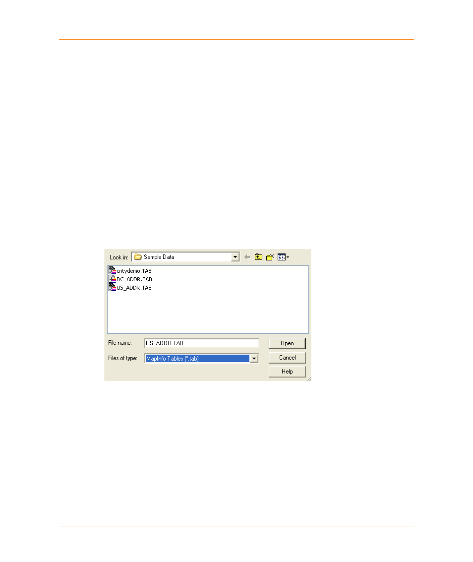
Open Table dialog
Use the Open dialog to open a street file for creating a User Dictionary. Use the Open Table dialog to
open a MapInfo table to geocode.
Look in:
Lists the available folders and files. To see how the current folder fits in the
hierarchy on your computer, click the down arrow. To see what is inside a folder,
click it.
The box below shows the folders and files in the selected location. You can also
double-click a folder or file in that box to open it.
File name:
Has a space for you to type the name of the file. If you select a project, the
project name is populated in this box
Files of type:
MapMarker projects have a PROJ file extension,
Open
Opens the selected project.
Cancel
Cancels the operation and closes the dialog.
Help
Displays help on this dialog.