Creating a batch geocoding file from a tab file – Pitney Bowes MapMarker USA User Manual
Page 171
Chapter 7:
Batch Geocoding
MapMarker USA 25
171
User Guide
Batch geocoding is useful for overnight processing of large databases or when a table is updated
regularly via a scheduling program.
CASS™ geocoding can also be set up as a batch process.
L
You can batch geocode MapInfo TAB files, comma-delimited (CSV), text files (TXT), and
project files (PROJ). However, you usually cannot batch geocode ODBC database files,
since a password is typically required and that requires user intervention.
The procedure for creating a batch file varies depending on whether the input file is a TAB file or
other file type.
See the following topics:
Creating a Project-Based Batch File
Creating a Batch Geocoding File from a TAB File
Batch Geocoding Considerations
Creating a Batch Geocoding File from a TAB File
To create a batch geocoding file from a TAB file, follow these steps:
1. Open a table in MapMarker and proceed through the select column dialogs to confirm the input
and output columns. See
Selecting Input and Output Address Columns
.
2. When you have finished specifying input and output columns, use the tabs in the Geocode dialog
to select your geocoding settings. After selecting the settings, click Apply. Click the dialog Help
buttons to learn more about each geocoding option.
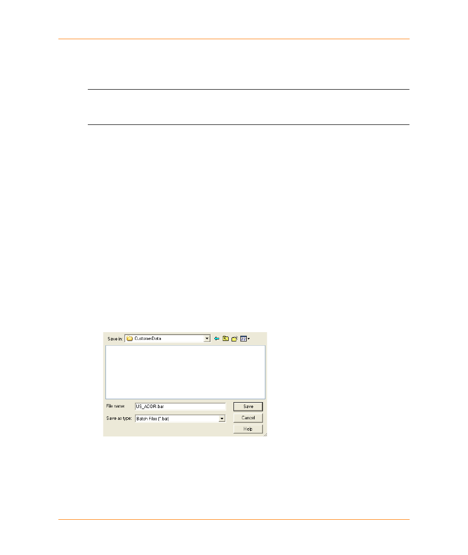
3. When done with the settings, click Cancel in the Geocode dialog then choose Table > Create
Batch File. The Save Batch File As dialog appears.
4. Specify the path and filename for the batch file. By default the batch file uses the root file name of
the table with the extension *.bat. Click Save.