Note – Pitney Bowes MapMarker USA User Manual
Page 108
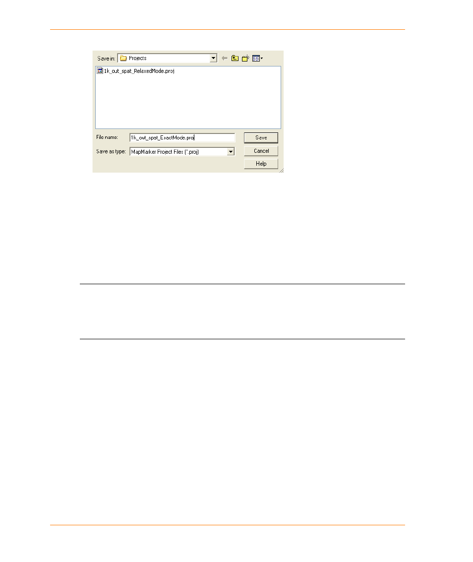
Creating and Saving a Project
MapMarker USA 25
108
User Guide
2. In the Save Project File As dialog box, type a project name. A PROJ file extension is used.
When you subsequently open the project, settings and preferences are restored. For example, if you
had created a project with changes to the default geocode, match settings, fallback, and user
dictionary preferences, all of these settings are restored when you open the project.
You can create multiple projects based on the same TAB or text input file. By creating unique
projects based on the same input data, you can design, preserve, and manage multiple geocoding
strategies customized to suit your needs. For example, you could create a project named
CustomerStats_Exact.proj that performs geocoding based on the rules and preferences that you
specify. You could create another project named CustomerStats_RelaxedMode.proj that geocodes
the same TAB file using the Relaxed Mode matching criteria.
L
If you created a project in an earlier version of MapMarker, the project will still be using the
older Address Dictionary. If you re-save the project using the same name (overwriting the
original project name), the project will then point to the new MapMarker USA 25 Address
Dictionary. Alternatively, you can edit the DataBasePath entry in the PROJ file to point to the
location of the Address Dictionary (by default,
To open and run a previously saved project, see
Opening and Running a Project on page 65
.
You can also run a project from the command line using a project-based batch file. See the following
topics: