Export to dialog – Pitney Bowes MapMarker USA User Manual
Page 230
MapMarker Dialogs
MapMarker USA 25
230
User Guide
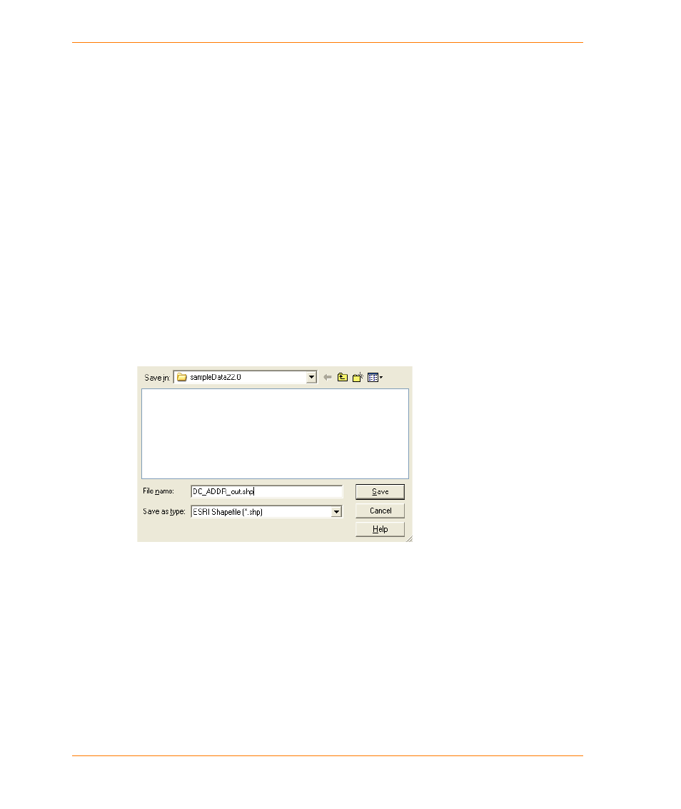
Export to dialog
The Save As dialog appears when you select after you open a TAB, CSV, delimited text (TXT), or
DBF file and select Table > Export to ESRI Shapefile. Use it to name a SHP file when you are
exporting to Shapefile format.
Path
Specify the path for the User Dictionary(s). These user-defined
databases contain the address information MapMarker will use to set
the x and y coordinates for your records. Click Browse to identify the
current User Dictionary path and other User Dictionary paths you wish
MapMarker to search.
Use Address Point
Interpolation
Select this check box to use address point interpolation when you
geocode. Address point interpolation enables records to be geocoded in
relation to any address point candidates that are available in the output.
Using a customized dictionary that contains address point data gives
the best results.
OK
Closes the dialog and saves the changes that you have made.
Cancel
Cancels the operation and closes the dialog.
Apply
Applies the settings that you specified.
Help
Displays help on the dialog.