Winds overlay – Jeppesen FliteDeck 3 User Manual
Page 224
Satellite Weather
227
and a pennant is 50 knots (see
representation).
Winds Overlay
To view winds on all the chart components:
1. Click the Chart Setup tab.
2. Click Weather Options.
3. Select the Winds check box.
4. Click on a page tab you wish to view weather.
5. Click the Wx button to display and hide weather.
Wind data appears over all the enroute chart views when the view is at
approximately 600 nautical miles per square inch and closer. It also appears over
any geo-referenced terminal chart displayed in the Terminal page.
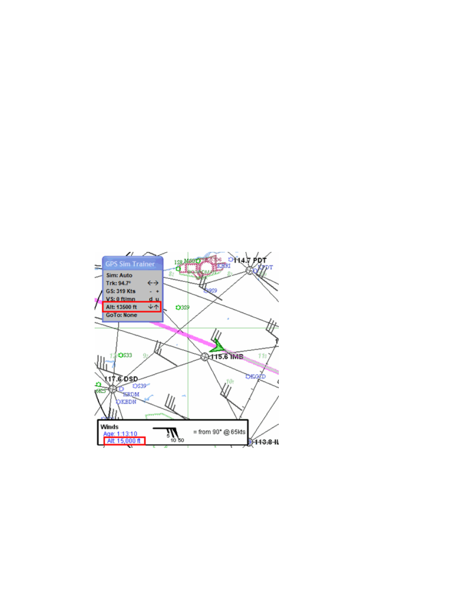
In the example below, the GPS Simulator is at 13,500 feet. The winds displayed are
within the 3,000 ft increment received from XM Weather.
When using an actual GPS, you can view the altitude in block 2 of the Enroute Nav
page (See
for additional information).