Profile view, For a – Jeppesen FliteDeck 3 User Manual
Page 168
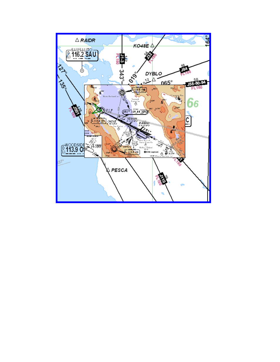
Enroute Nav Page
171
Profile View
The Profile View displays the following information for your route:
• Height of terrain — An approximate value for situational awareness.
• Airspace information — Blue shaded areas indicate terminal airspace, and
red indicates restricted areas.
• Distance along the route in nautical miles — Shown along the top scale.
You can change this in the FliteDeck Setup program to show distance
remaining in the route (see
• Route Waypoints — Shown along the bottom scale from left to right as your
route progresses.
• Altitude profile — Purple line showing your climbs, level flight segments,
and descent.
• Cleared altitude marker — A yellow line marked with an altitude is your
clearance altitude set on the Plan page (see
Setting the Altitude Along the
).