Chart overlay, Route chart, see – Jeppesen FliteDeck 3 User Manual
Page 167
JeppView FliteDeck User's Guide
170
• Route — Leg Dist displays the distance for each route leg. If you are
traveling on a route leg, it displays the remaining route leg distance from
your present GPS position to the next waypoint.
• Route — Leg ETE is the amount of time estimated to fly each route leg
based on present ground speed.
• Route — Distance shows cumulative distance from your present position to
each waypoint in the route.
• Route — ETE shows cumulative ETE from your present position to each
waypoint in the planned route, based on present ground speed.
• Route — ETA is estimated time of arrival in local a.m./p.m. and Zulu time at
each waypoint along the route, based on present ground speed. The local
time is based on the time zone of an airport near each waypoint. If the
waypoint is more than 150 nautical miles from any airport, then military time
(maritime) is used.
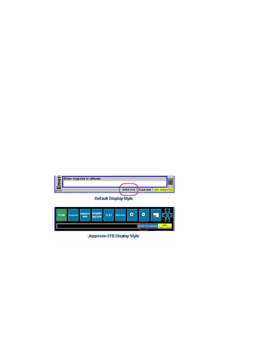
Chart Overlay
After a chart is selected from the Terminal page, you can overlay that chart on the
Enroute Nav page and on other pages that display enroute charts (except the
Emergency page).
The Chart Overlay button is labeled with the identifier of the airport and the chart.
Click this button to cycle between displaying the full chart, the Plan View (if
applicable) and no overlay.
The Chart Overlay button is located in the upper right corner of the page on the
Jeppesen EFB-style layout and on the status bar on the Standard Notebook
Computer layouts.