Getting information about waypoints, Viewing airport information – Jeppesen FliteDeck 3 User Manual
Page 171
JeppView FliteDeck User's Guide
174
• The active waypoint is in the upper left corner.
• The ground track is in the upper right corner. This is the same information
that is shown graphically under the lubber line.
• Distance to the active waypoint is in the lower left corner.
• ETE to the active waypoint is in the lower right corner.
• Along the bottom is the cross-track error (distance left or right of course),
and scale indicator.
There are three available scales for the STI. Click on the STI to switch between
them:
Nav Mode
Full-Scale
Deflection:
One Dot
Equals:
Enroute
2.0 nm
2430 feet
Terminal
1.0 nm
1215 feet
Approach
0.3 nm
365 feet
Getting Information About Waypoints
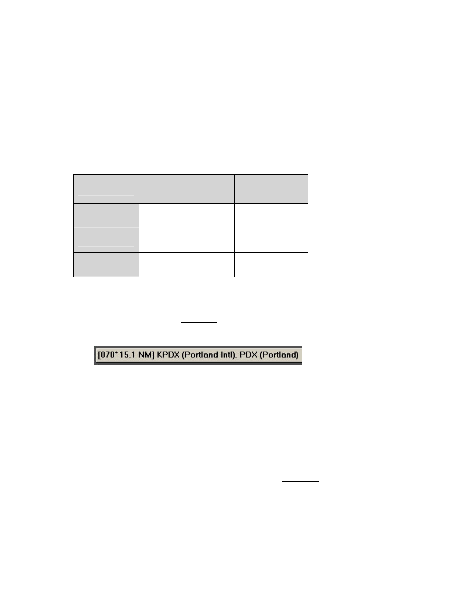
To view information about a waypoint while you are in the Enroute Nav page or the
Plan page, click on the waypoint on the chart. FliteDeck displays information on the
status bar.
Viewing Airport Information
You can view general airport information for both IFR and VFR airports (runway
information, communication and navigation frequencies) by clicking the Info:
[Airport] button on the Plan page, Terminal page, Enroute Nav page and Enroute
Map page. If you have a connection to XM weather, additional weather information
also displays, such as TFRs, METARs, Terminal Area Forecasts and City Forecasts
(see
for additional information).
To view the airport information:
• On the Plan page, enter an airport in the Enter Waypoint text box, and click
Info: [Airport] or click the airport name to the right of the Enter Waypoint
Text Box.