Split view – Jeppesen FliteDeck 3 User Manual
Page 154
Terminal Page
157
• If the chart is turned the wrong way on your screen, click Rotate until it is
oriented correctly. Each time you click this button, FliteDeck rotates the chart
90 degrees clockwise.
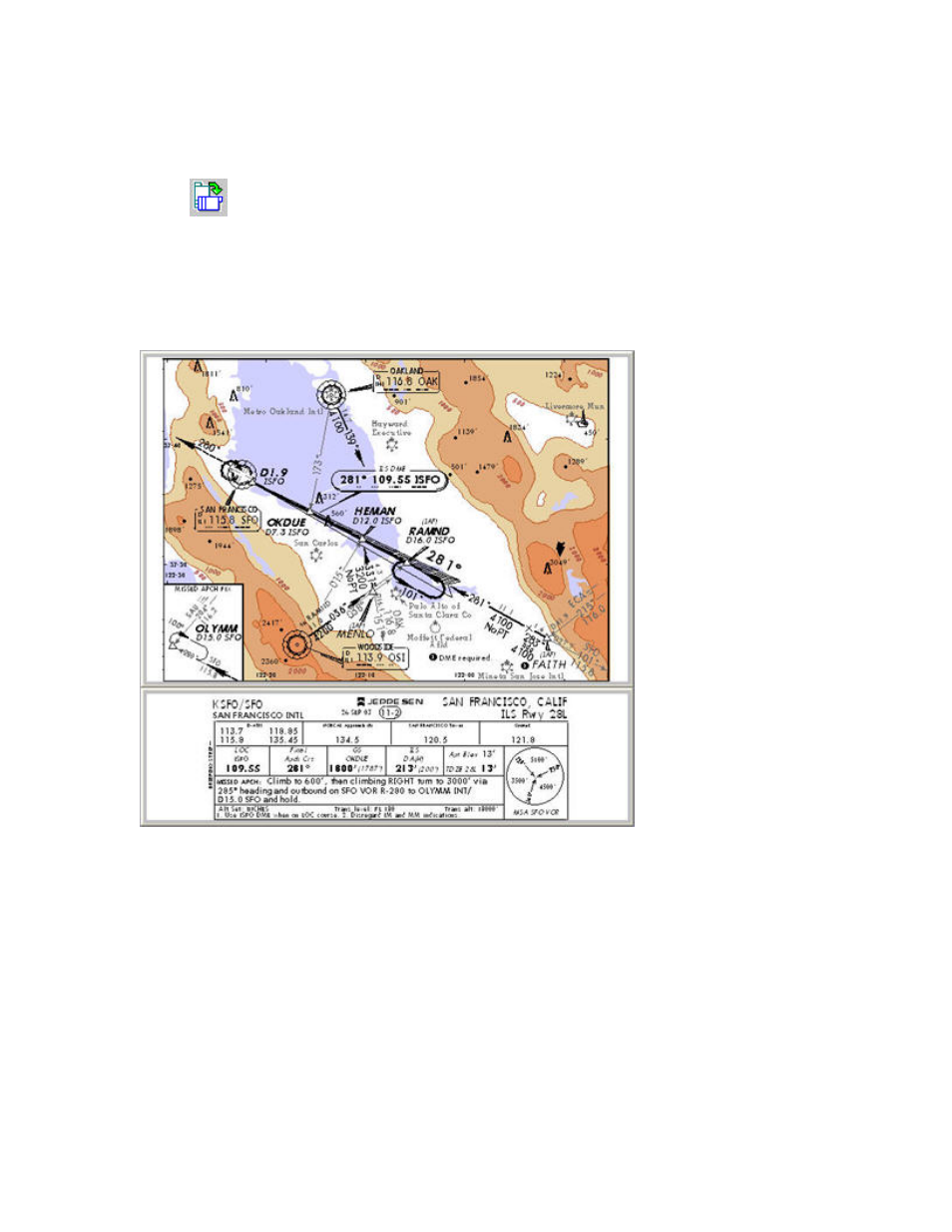
Split View
With geo-referenced charts, you can split the single chart component into two
separate components. This enables you to more clearly see the required information
on a computer screen.
The upper component is the geo-referenced plan part of the chart. Only charts that
are drawn to scale can be geo-referenced — calibrated so that FliteDeck can display
your position in this area. Approach charts and Airport (Runway) charts are normally
geo-referenced; SIDs and STARs are not.
When the lower component is active, cycle between different types of information by
pressing ENTER or clicking/tapping within the component:
On Airport (Runway) Charts
1. Chart Header
2. Additional Runway Information
3. Takeoff and Obstacle Departure Procedures
On Approach Charts