Selecting a chart, Inal chart, see – Jeppesen FliteDeck 3 User Manual
Page 146
Terminal Page
149
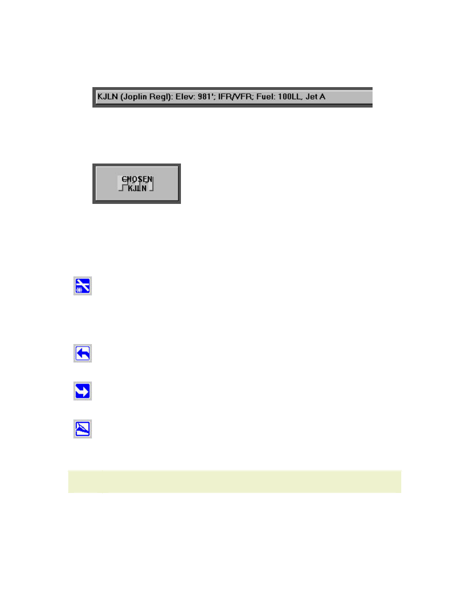
4. Type the airport identifier in the Enter Waypoint text box or click the symbol
in the chart. FliteDeck displays the identifier on the status bar with other
airport information.
5. Click the Terminal tab.
6. Click Select Airport (F1). The Chosen button now shows the identifier for
the airport you just selected on the Plan page.
7. Click Chosen (F11).
Selecting a Chart
After an airport has been selected in the Terminal tab (see
),
select the type of chart you want for that airport by clicking on the terminal chart
buttons. Not all terminal chart buttons are available for all airports.
(F2)
• IFR Airports — Airport Diagrams, Airport Info, Take-Off
Minimums, JAA Minimums, Parking Stands & Information,
Parking Coordinates, Noise Abatement.
• European VFR Airports — VFR Aerodrome Landing Chart, VFR
General Aerodrome Information, VFR Area Chart.
(F3)
(F4)
• IFR Airports — ILS, RNAV, VOR Runways
• European VFR Airports — VFR Approach charts
NOTE
Unlike JeppView, European VFR icons remain blue in FliteDeck.
You can also view charts only applicable to the active route on the Plan page and
charts recently viewed. See
information.