Perspective view, Dynamic nav-aids, Map orientation – Seiwa SW701i SW701e User Manual
Page 52
54
User Manual
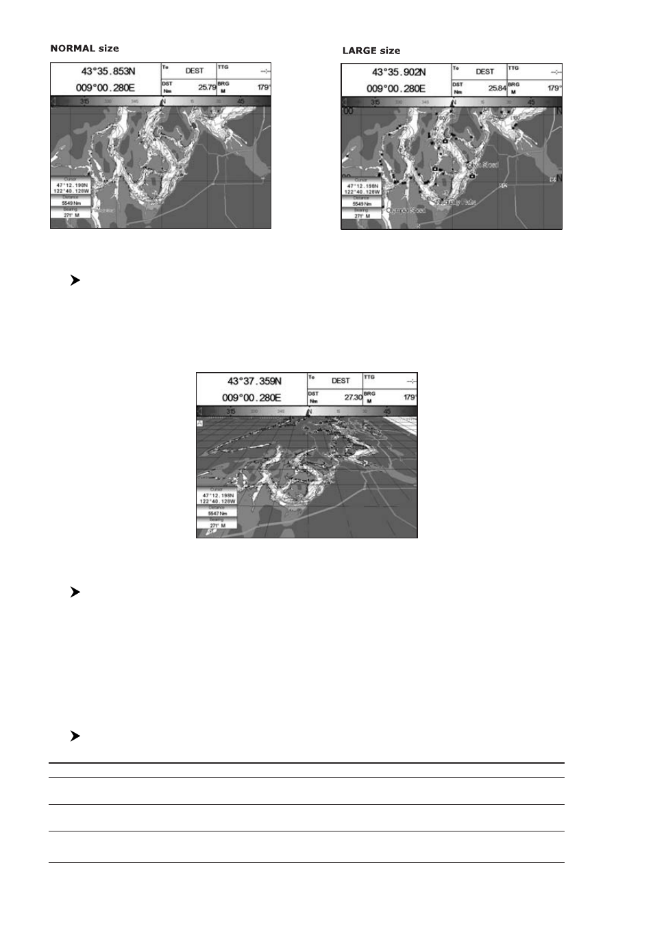
Fig. 3.2 - Example of Normal size font (on the left side) and Large size font (on the right side) settings
Perspective View
[MENU] + "Map Options" + [ENTER] + "Perspective View" + [ENTER]
Chart data may be projected in perspective mode during navigation. This function
allows setting the panoramic view of the chart. As the upper side of the map is
more compressed than the lower side, a wider map area is visible. The perspec-
tive view allows showing more chart information immediately ahead and around
the cursor.
Fig. 3.2a - Perspective View
Dynamic Nav-Aids
[MENU] + "Map Options" + [ENTER] + "Dynamic Nav-Aids" + [ENTER]
This function allows settings blinking lights on Nav-Aids. The blinking period and
color of each Nav-aid is read from the Nav-Aid attributes available on the data
cartridge. When the ship is inside the Nav-Aid nominal range, the light of the Nav-
Aid will start blinking.
NOTE
When Dynamic Nav-Aids option is set to On, when the flashing light is Off, or
when fix position is out of the sector, the light color is displayed by using a
faint light color.
Map Orientation
[MENU] + "Map Options" + [ENTER] + "Map Orientation" + [ENTER]
The possible choices are listed in the table below:
North Up
: The map is shown with North upwards.
Head Up
: The map is shown with the ship's current heading upwards. If Head Up is selected, it is possible
to set the Map Orientation Resolution angle in the range [5, 60] degrees.
Track Up
: The map is shown with the currently selected course leg upwards. If Track Up is selected, it is
possible to set the Map Orientation Resolution angle in the range [5, 60] degrees.