Operator’s manual – Great Plains DICKEY-john AI-120 12-inch Virtual Terminal User Manual
Page 109
OPERATOR’S MANUAL
AI-120 Virtual Terminal
11001-1606B-201310
MAIN OPERATOR SCREEN / 101
GPS QUALITY
The GPS Quality map provides a visual representation of GPS position
accuracy for areas covered in coverage mapping. This layer displays even if
the coverage layer is turned off.
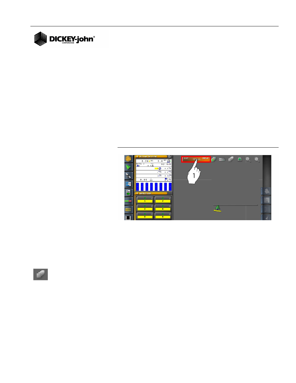
– Press the center of the legend to toggle between manual and auto
modes.
Auto Mode
The range of GPS quality in the existing coverage map sets the upper and
lower limits. These limits are updated automatically as new coverage is
added to the map.
Manual Mode
Manual mode is a user-definable scale that allows color gradient
adjustment in GPS quality while performing coverage mapping.
Figure 150
GPS Quality
APPLIED RATE MAP COVERAGE
Applied Rate Map displays the actual rate of coverage by color intensity.
The color gradient of the applied rate map can be adjusted as desired.
(
Figure 151
) displays how colors appear in the field relative to the color
gradients selected.
To Adjust Color Variance of Map:
1. At the Map Layers and Coverage Map window, use the left and right
arrow buttons to select the desired applied rate map (
Figure 148
).
2. Press to open the scale. Color gradients depict the minimum and
maximum values.
3. Press the Edit button at the current scale window to adjust settings
and colors.
– Set Range button allows adjustment of minimum and maximum
values and the number of ranges
– Auto Applied button
– Slider scale
– Left and Right Arrow buttons adjust the color range
4. Press the Check button to accept changes.