ADS Environmental Services IntelliServe 2.8.1 950026A7 User Manual
Page 35
2-10
IntelliServe
User’s Guide
CONFIDENTIAL – Covered by ADS Terms of Use and Confidentiality Agreement in Contract
© 2010 ADS LLC. All Rights Reserved.
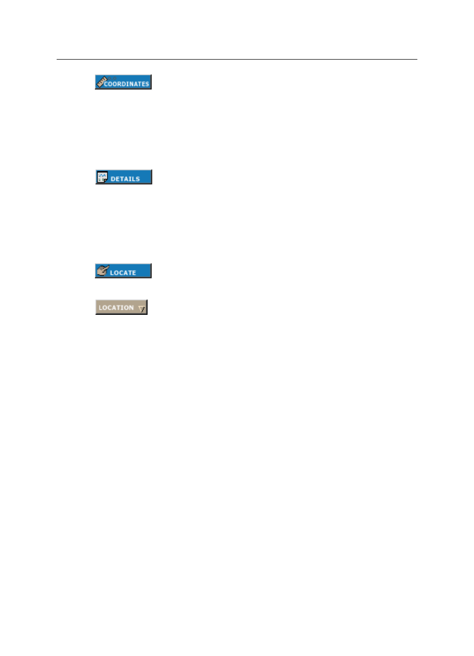
Click on this button and then click on any area of the map to display
latitude, longitude, and map extent in reference to the clicked
position.
or
Click on this button, mouse over the Location button on the map
toolbar, and then click on a location in the drop-down list to display
latitude, longitude, and map extent in reference to the selected
location.
Click on this button and then click on a monitor or rain gauge
location on the map to display a graph of the last seven days of data
and the most recent readings collected from the selected location.
or
Click on this button, mouse over the Location button on the map
toolbar, and then click on a location in the drop-down list to display
a graph of the last seven days of data and the most recent readings
collected from the selected location.
Click on this button, mouse over the Location button on the map
toolbar, and then click on a location in the drop-down list to
highlight the selected location on the map.
Mouse over this button to display the list of locations in the basin.
Click on one of the map toolbar buttons and then select a location
from the Location drop-down list to perform the operation for the
location you selected.
For example, if you click Coordinates and then select
"Monitor_06" under Location, the map will display the coordinates
of that location and place the marker over that location icon on the
map. The map view will change if necessary so the location will be
in the viewing area.