Tools, Workspaces, Coordinate systems and projections – Pitney Bowes MapXtreme User Manual
Page 63
Chapter 3: Mapping Concepts
Mapping and MapXtreme
MapXtreme v7.1
63
Developer Guide
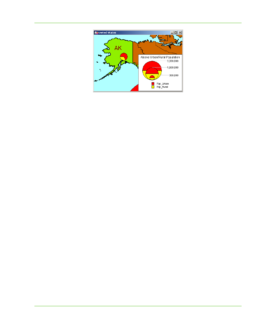
Themes can also be created for labels. For example, use a ranged label theme to show the relative
population size among cities. The largest labels represent the cities with the largest populations.
The MapInfo.Mapping.Thematics namespace contains classes that implement themes as style
overrides on Feature layers and as Object themes. Modifier themes change the style, while object
themes add a new layer. All themes implement the ITheme interface.
Tools
Most mapping applications provide an assortment of toolbar buttons (tools) to aid with common
drawing tasks (such as drawing a line on the map) and navigation tasks (such as zooming in).
MapXtreme provides a number of mapping tools, plus you can also create your own custom tools.
The tools are divided into desktop tools and web tools, the API for each contained in their own
namespace (MapInfo.Tools for desktop and MapInfo.WebControls for web tools.)
For more information on desktop tools in MapXtreme see
. For
more information on web tools see
Chapter 5: Web Applications, Controls, and Tools
Workspaces
While not strictly a mapping concept, workspaces are included here because they will make working
with all the mapping elements easier. MapXtreme supports an XML-based workspace format that
uses the .MWS extension. In it are all the settings for your maps. The format for the workspace is
explained in
Appendix C: Understanding the MapInfo Workspace
. MapXtreme provides a utility
called Workspace Manager to help you construct workspaces and save them for later use. See
.
Coordinate Systems and Projections
Coordinate systems and projections are two important mapping concepts about which you should
have a basic understanding. Projection refers to how a map is displayed on a flat surface such as a
paper map or computer screen, while a coordinate system describes how map features are spatially
arranged. Both are important considerations when developing applications, especially those where
spatial precision and accuracy are important.