Per-record styles – Pitney Bowes MapXtreme User Manual
Page 236
Chapter 11: Accessing Data from a DBMS
Per-Record Styles
MapXtreme v7.1
243
Developer Guide
Per-Record Styles
Per-record style support brings a feature to spatial database implementations that has long been
available in MapInfo TAB files. Specifically, it allows each geometry in a single table to have its own
style. For example, a single 'public institution' table in Oracle Spatial can have schools, town halls,
libraries, and police departments and each point type would be represented with its own symbol (i.e.,
a school symbol for all the schools). Similarly, a single road table in SpatialWare SQL Server may
have different road types such that streets are shown as a single pixel black line, secondary roads
as a double pixel red line and interstates as parallel red lines.
To use per-record styles, your table must be represented with an entry in the MapCatalog with
appropriate settings for RENDITIONTYPE, RENDITIONCOLUMN, and RENDITIONTABLE.
L
If these columns are not present, the table’s default style will be applied to all objects.
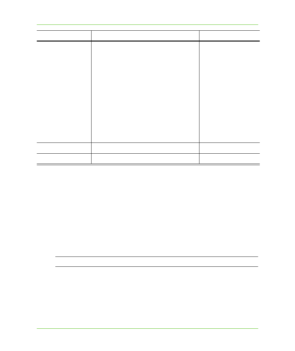
RENDITIONCOLUMN
If RENDITIONTYPE is 1, this field stores the name
of the column in the spatial table that contains style
information. This column is automatically added to
any query against the table and is maintained
(updated) as the object is updated. Users should
NOT specify this column in their queries as
problems can occur with intersect or update
statements. Queries which include this column in
the select clause (excluding the wildcard character
“
*
”) may access the values through the Dataset
object. Rows with a NULL value in their style
column will have the style from the SYMBOL field
of the MapCatalog applied to the object.
Creates a MapInfo.Column.DataType with
MIDBType.Style
MI_SYMBOLOGY
RENDITIONTABLE
Currently not used, but reserved for future use.
NULL
NUMBER_ROWS
Currently used by MapInfo Professional.
NULL
Column Name
Values to Assign
Examples