Migrating to mapxtreme – Pitney Bowes MapXtreme User Manual
Page 24
Chapter 1: Introduction to MapXtreme
Migrating to MapXtreme
MapXtreme v7.1
24
Developer Guide
Migrating to MapXtreme
The following is a table that compares features and functionality from MapX and MapXtreme v3.0
with that of MapXtreme .NET. As with any new architecture of a product, note that the equivalent
may not be exact. Use the MapXtreme topics in the right column of this list to find further details
elsewhere in this Developer Guide and in the online help and object model. A full list of the MapX
object model and the equivalent functionality in MapXtreme is covered in
.
Geographic processing and
analysis
This refers to making new features from existing ones, such as
combining postal code boundaries to create sales territories. It also
refers to using the feature’s location coordinates to learn more
about its relationship to other features. For example, create a buffer
around a point that measures five miles in radius to find out what
other points fall within the buffer zone.
Projections and Coordinate
Systems
These are ways of representing locations on a two-dimensional
map. Knowing the coordinate system of your data allows you to line
up features properly for accurate display and measurement.
MapXtreme supports a wide variety of projections and coordinate
systems and provides information for creating your own.
*
Some features or tools in this product may not be supported for some languages or in some regions.
Please consult your local customer service representative for details.
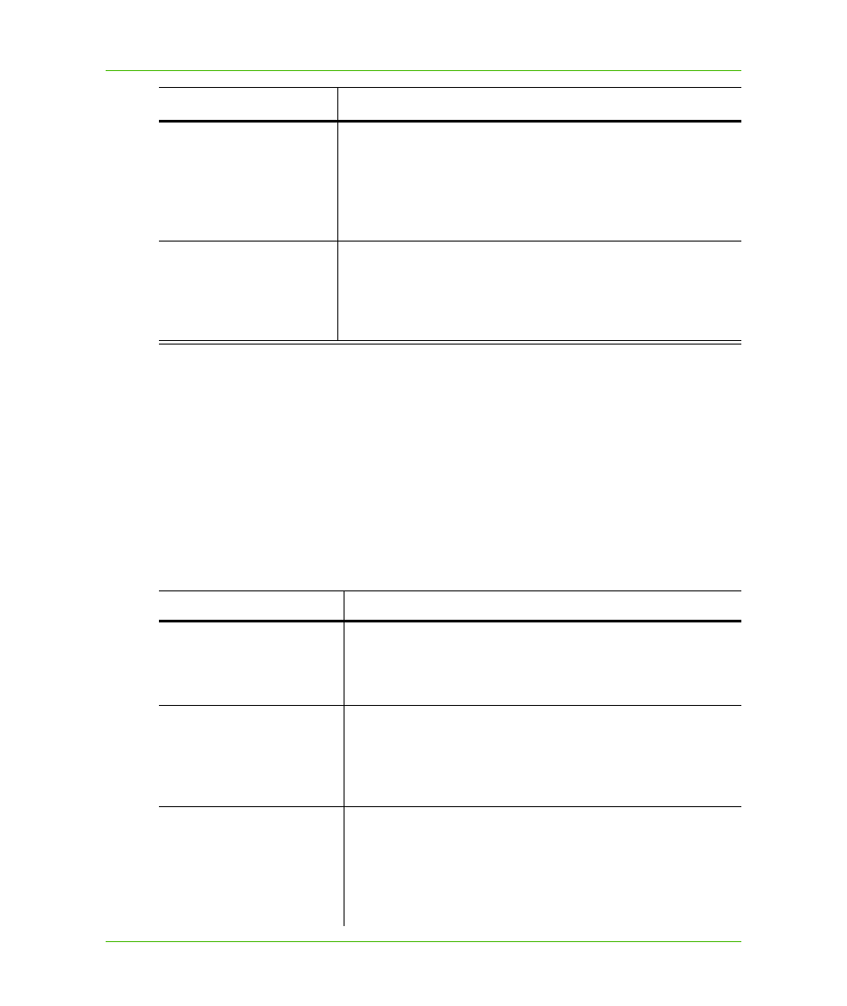
Feature
*
Purpose
MapX5.0 /MapXtreme3.0
MapXtreme
Map object
Map class: holds collection of Layers.
MapControl: way to view a map on a form.
MapXBroker
Session class: starting point for all MapXtreme-based
applications.
Related topics: MICommand, Catalog, Pooling
Layer-centric model
Tablecentric model
Related topics: Table metadata (TableInfo class), Feature class,
Column class (MI_Geometry, MI_Style, MI_Key), MapInfo
ADO.NET data provider.