Garmin G1000 Piper PA32 User Manual
Page 243
GPS NAVIGATION
190-00692-00 Rev. B
5-109
Garmin G1000 Pilot’s Guide for Piper PA32
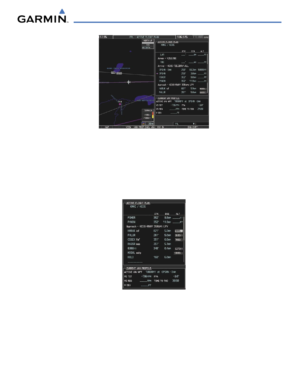
Figure 5-110 Loaded Approach
13)
Note the altitude constraints associated with each of the approach waypoints as seen in Figure 5-110. These
altitudes are loaded from the database and are initially displayed as white text, indicating these values will not
be used in computing vertical deviation guidance. The altitude values must be designated for use by the pilot if
they are to be used in computing vertical guidance.
a)
Press the FMS Knob to activate the cursor.
b)
Turn the large FMS Knob to place the cursor in the altitude field associated with the IAF at HABUK as in Figure
5-111.
Figure 5-111 Designate HABUK Altitude Constraint
c)
Press the ENT Key. Note the altitude is now displayed as light blue text (Figure 5-35), indicating that the value
will now be used in computing vertical guidance. The G1000 will be using baro corrected altitude when giving
vertical guidance to these waypoints.
d)
Turn the large FMS Knob to select the altitude constraint associated with FALUR as seen in Figure 5-112.