Hazard avoidance, Cloud tops – Garmin G1000 King Air C90GT User Manual
Page 319
190-00663-01 Rev. A
Garmin G1000 Pilot’s Guide for the Hawker Beechcraft C90A/GT
305
HAZARD AVOIDANCE
SY
STEM
O
VER
VIEW
FLIGHT
INSTRUMENTS
EIS
AUDIO P
ANEL
& CNS
FLIGHT
MANA
GEMENT
HAZARD
AV
OID
ANCE
AFCS
ADDITIONAL
FEA
TURES
APPENDICES
INDEX
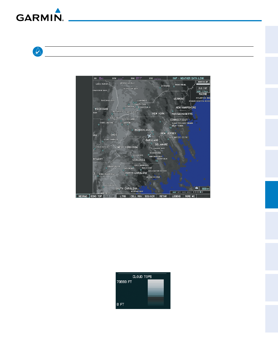
CLOUD TOPS
NOTE:
Cloud Tops and Echo Tops cannot be displayed at the same time.
Cloud Tops data (Figure 6-16) depicts cloud top altitudes as determined from satellite imagery.
Figure 6-16 Cloud Tops Data
Displaying Cloud Tops information:
1)
Select the Weather Data Link Page with the FMS Knob.
2)
Select the CLD TOP Softkey.
To display the Cloud Tops legend (Figure 6-17), select the LEGEND Softkey when Cloud Tops is selected
for display. Since Cloud Tops and Echo Tops use the same color scaling to represent altitude, display of these
weather products is mutually exclusive. When Cloud Tops is activated, Echo Tops data is removed.
Figure 6-17 Cloud Tops Legend