Hazard avoidance – Garmin G1000 Mooney M20TN User Manual
Page 261
190-00647-00 Rev. A
Garmin G1000 Pilot’s Guide for the Mooney M20M/M20R/M20TN
6-25
HAZARD AVOIDANCE
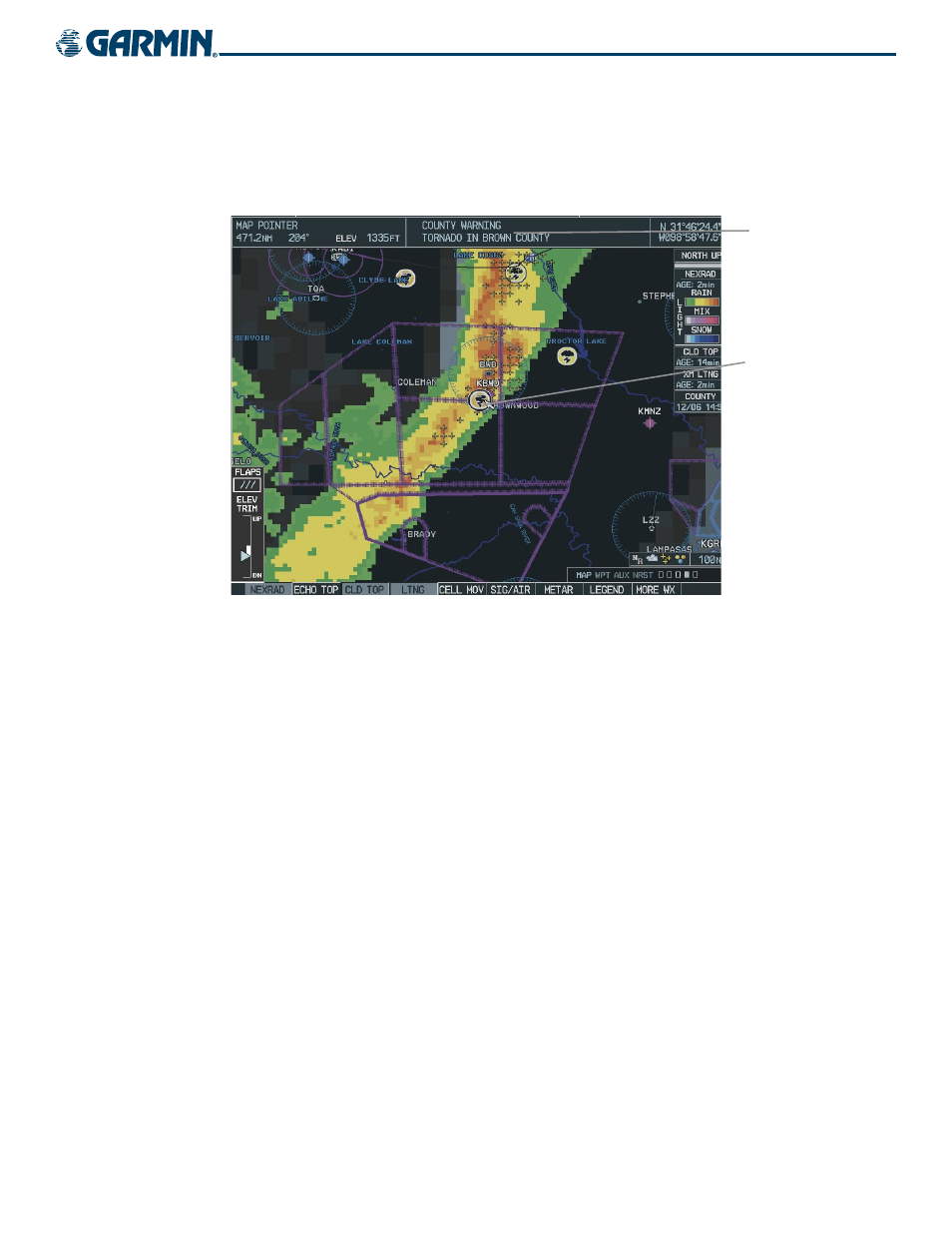
Map Panning on the Weather Data Link Page
Map panning (Figure 6-34) moves the map beyond its current limits without adjusting the map range.
Press the
Joystick
to select the map panning feature.
Information
About Warning
Panning Arrow
Over a Tornado
Warning
Figure 6-34 Panning on the Weather Data Link Page
When map panning is enabled, a panning arrow flashes on the Weather Data Link Page. Panning over
AIRMETs, County Warnings, TFRs (Temporary Flight Restrictions), Echo Tops, METARs, SIGMETs, and Cell
Movement displays text information for the selection. This information is displayed in the same location as
the map pointer information on the Navigation Map Page.