Garmin G1000 Mooney M20TN User Manual
Page 256
Garmin G1000 Pilot’s Guide for the Mooney M20M/M20R/M20TN
190-00647-00 Rev. A
6-20
HAZARD AVOIDANCE
W
INDS
A
LOFT
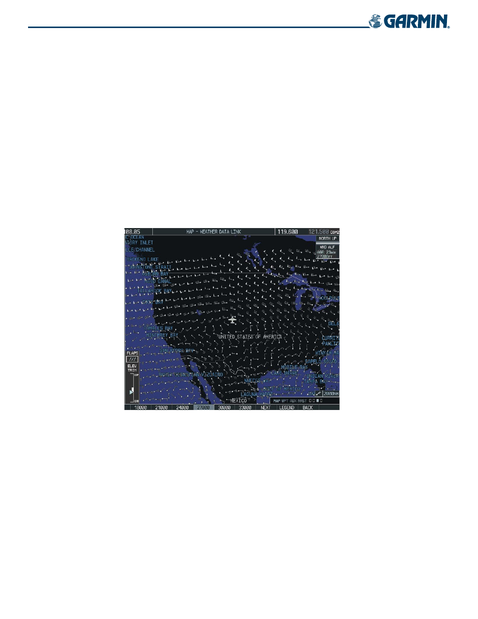
Winds Aloft data (Figure 6-27) shows the forecasted wind speed and direction at the surface and at
selected altitudes. Altitude can be displayed in 3,000 ft. increments up to 42,000 feet ASL.
Displaying Winds Aloft data:
1)
Press the
MORE WX
Softkey.
2)
Press the
WIND
Softkey.
3)
Press the
SFC
Softkey to display the surface wind speed and directions.
4)
Press any numbered softkey to display the altitude in 3,000 foot increments. The
WIND
Softkey label changes
to reflect the altitude selected.
5)
Press the
NEXT
Softkey to display the next set of softkeys.
6)
Press the
PREV
Softkey to return to the previous set of softkeys.
Figure 6-27 Winds Aloft Data at 27,000 Feet