Garmin G1000 Mooney M20TN User Manual
Page 253
190-00647-00 Rev. A
Garmin G1000 Pilot’s Guide for the Mooney M20M/M20R/M20TN
6-17
HAZARD AVOIDANCE
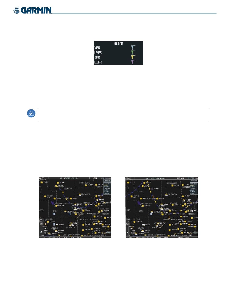
To display the METAR legend (Figure 6-19), press the LEGEND Softkey when METARs are selected for
display.
Figure 6-19 METAR Legend
MORE WEATHER
Press the MORE WX Softkey to display these additional softkeys:
S
URFACE
A
NALYSIS
AND
C
ITY
F
ORECAST
NOTE:
Surface Analysis and City Forecast information display together. They only display within the installed
Aviation Database service area.
Surface Analysis and City Forecast information is available for current and forecast weather conditions.
Forecasts are available for intervals of 12, 24, 36, and 48 hours (Figures 6-20 to 6-23).
Surface Analysis and City Forecast information display on the Weather Data Link Page. It does not
display on other G1000 maps.
Press the MORE WX Softkey and then the SFC Softkey for Surface Analysis and City Forecast information.
Press the softkey to reflect current conditions or 12-, 24-, 36-, and 48-hour forecasts. The SFC Softkey
label changes to reflect the forecast time selected.
Figure 6-20 Current Surface Analysis Data
Figure 6-21 12-Hour Surface Analysis Data