Gps navigation, Additional airport runway information – Garmin G1000 Mooney M20TN User Manual
Page 157
5-39
GPS NAVIGATION
190-00647-00 Rev. A
Garmin G1000 Pilot’s Guide for the Mooney M20M/M20R/M20TN
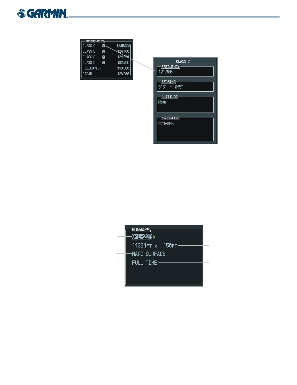
Figure 5-32 Viewing a Restriction
Loading a pilot control lighting frequency into selected COM standby frequency:
1)
With the Airport Information Page displayed, press the FMS
Knob
to activate the cursor.
2)
Move the cursor to the ‘PCL FREQ’ field in the Runways Window.
3)
Press the ENT Key to place the PCL frequency in the standby field of the COM window.
4)
Press the FMS
Knob to remove the cursor.
ADDITIONAL AIRPORT RUNWAY INFORMATION
Figure 5-33 Runway Information Box
Runway Surface
Runway Size
Runway Designation
Runway Lighting
The airport runway information field (Figure 5-33) displays runway designations, length, surface type and
lighting for the selected airport. A map image of the runway layout and surrounding area is also displayed on
the Airport Information Window. The map image range is displayed in the lower left corner and is adjustable
using the joystick. For airports with multiple runways, information for each runway is available.