Hazard avoidance, Surface analysis and city forecast – Garmin G1000 Piper PA-46 Matrix User Manual
Page 330
Garmin G1000 Pilot’s Guide for the Piper PA-46 Mirage/Matrix
190-01108-00 Rev. B
316
HAZARD AVOIDANCE
SY
STEM
O
VER
VIEW
FLIGHT
INSTRUMENTS
EICAS
AUDIO P
ANEL
& CNS
FLIGHT
MANA
GEMENT
HAZARD
AV
OID
ANCE
AFCS
ADDITIONAL FEA
TURES
APPENDICES
INDEX
SY
STEM
O
VER
VIEW
FLIGHT
INSTRUMENTS
EICAS
AUDIO P
ANEL
& CNS
FLIGHT
MANA
GEMENT
HAZARD
AV
OID
ANCE
AFCS
ADDITIONAL FEA
TURES
APPENDICES
INDEX
To display the METAR legend on the Weather Data Link Page, press the LEGEND Softkey when METARs
are selected for display.
The METAR flag color is determined by the information in the METAR text. The METAR flag is gray when
the METAR text does not contain adequate information.
Figure 6-26 METAR Legend
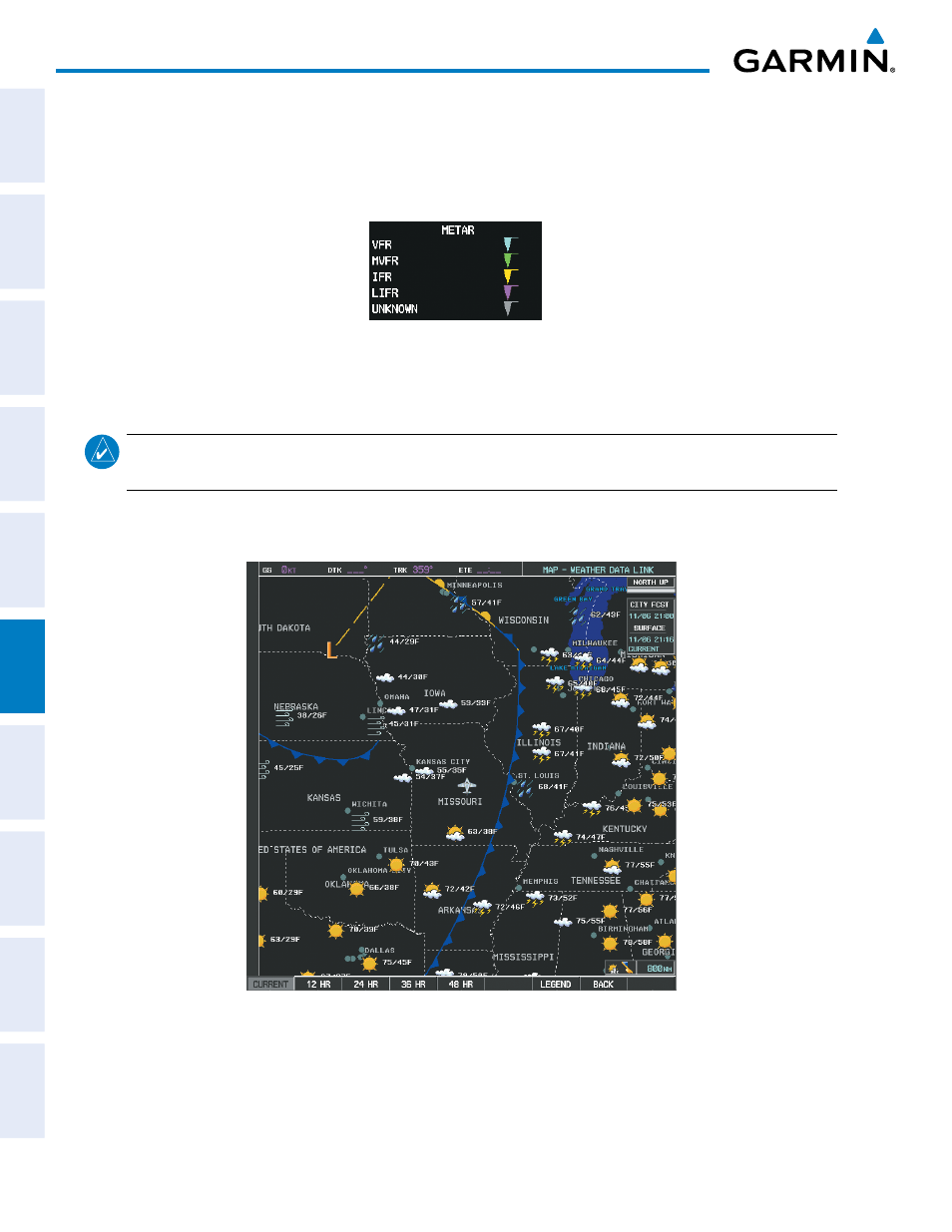
SURFACE ANALYSIS AND CITY FORECAST
NOTE:
Surface Analysis and City Forecast data are displayed only within the installed Aviation Database
service area.
Surface Analysis and City Forecast information (Figure 6-27) is available for current and forecast weather
conditions. Forecasts are available for intervals of 12, 24, 36, and 48 hours.
Figure 6-27 Surface Analysis Data - 36-Hour