Triton TritonMap User Manual
Page 73
June 2004 DelphMap™ User's Manual
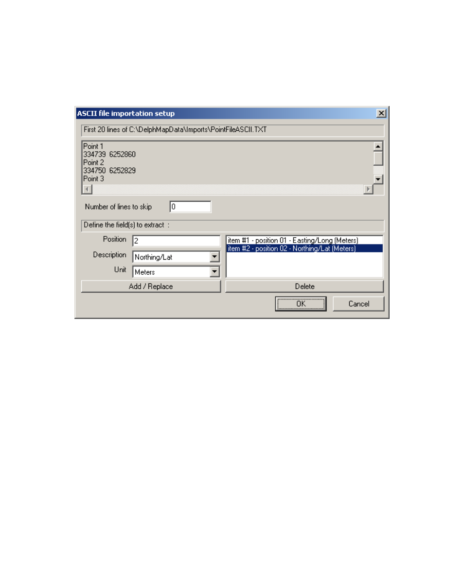
5. Define the X and Y positions and units. Then click OK.
FIGURE 26. ASCII file importation setup dialog box
6.
7.
You will then be asked to define the geodesy of the ASCII file.
The projection of the ASCII file must be the same as that of the
DelphMap project.
Once the points have been entered, you can change the point
symbols and colors with the Digit
→Properties. See ‘Setting
Properties for a Digit Type of Vector Layer’.
Chapter 3: Importing and Exporting
59