Triton TritonMap User Manual
Page 69
June 2004 DelphMap™ User's Manual
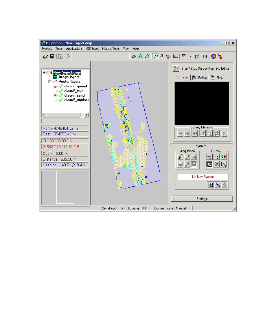
FIGURE 22. Imported DXF classification file example
Areas of the imported classification are shaded to show differences. You
can have DelphMap bring out more detail in the imagery, show the labels for
the various seabed aspects, and assign colors to those labels by
manipulating the properties of the various layers. You make these changes
one layer at a time. See ‘To assign colors to labels or objects in layers’
for the technique of changing a layer’s colors.
Chapter 3: Importing and Exporting
55