Pitney Bowes MapInfo Vertical Mapper User Manual
Page 95
Chapter 6: Working with Grids
User Guide
93
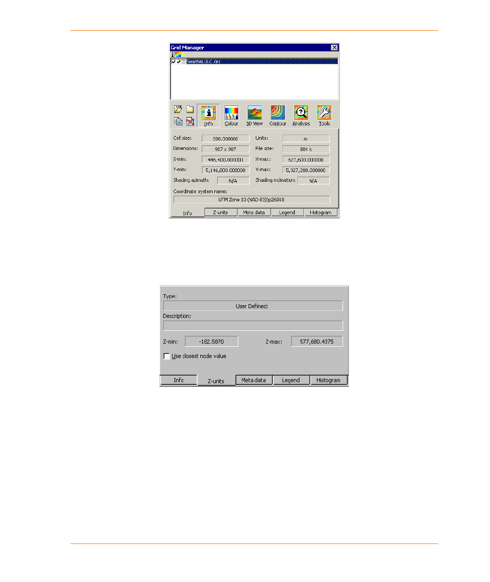
The Info tab summarizes the spatial characteristics of the selected grid including cell size,
geographic unit of measure, grid dimension (in cells), file size, x and y extent of the grid, light source
settings that define the relief shading of the grid (if applicable), and the name of the MapInfo
Professional coordinate system to which the grid is referenced. Light source information does not
apply to classified grids.
The Z-units tab provides a summary of the grid data characteristics including the data value range,
the data type, and data description. The data type and description are entered when the grids are
built and can also be changed using the Alter Meta Data command.
If the Use Closest Node Value check box is enabled, the value of the closest node is returned
whenever the grid is queried. Consequently, the value of any location within a cell will be the same.
If the check box is cleared, the values of adjacent cells are used to estimate the value of locations
inside a cell, and values of individual locations within the cell will be different. This setting affects all
of the following functions:
•
grid calculations
•
grid queries
•
point-to-point visibility
•
cross section