Import raster data as vertical mapper grid, Import raster – Pitney Bowes MapInfo Vertical Mapper User Manual
Page 85
Chapter 5: Creating Grids Using Other Methods
User Guide
83
The Extract From section enables you to choose any or all of the Include Existing Points, Lines,
Polylines, and Regions options to determine the type of objects in the table from which points are
to be extracted.
The Distance Between Points section includes the following options:
•
The Use Nodes Only option enables you to specify that only the nodes are included in the
calculation.
•
The Set Maximum option enables you to define the distance value between points in the
Distance box.
Import Raster Data as Vertical Mapper Grid
Import Raster Data as Vertical Mapper Grid will enable you to convert raster data such as *.bmp file
into a Vertical Mapper Grid file.
Steps to import raster data as Vertical Mapper grid:
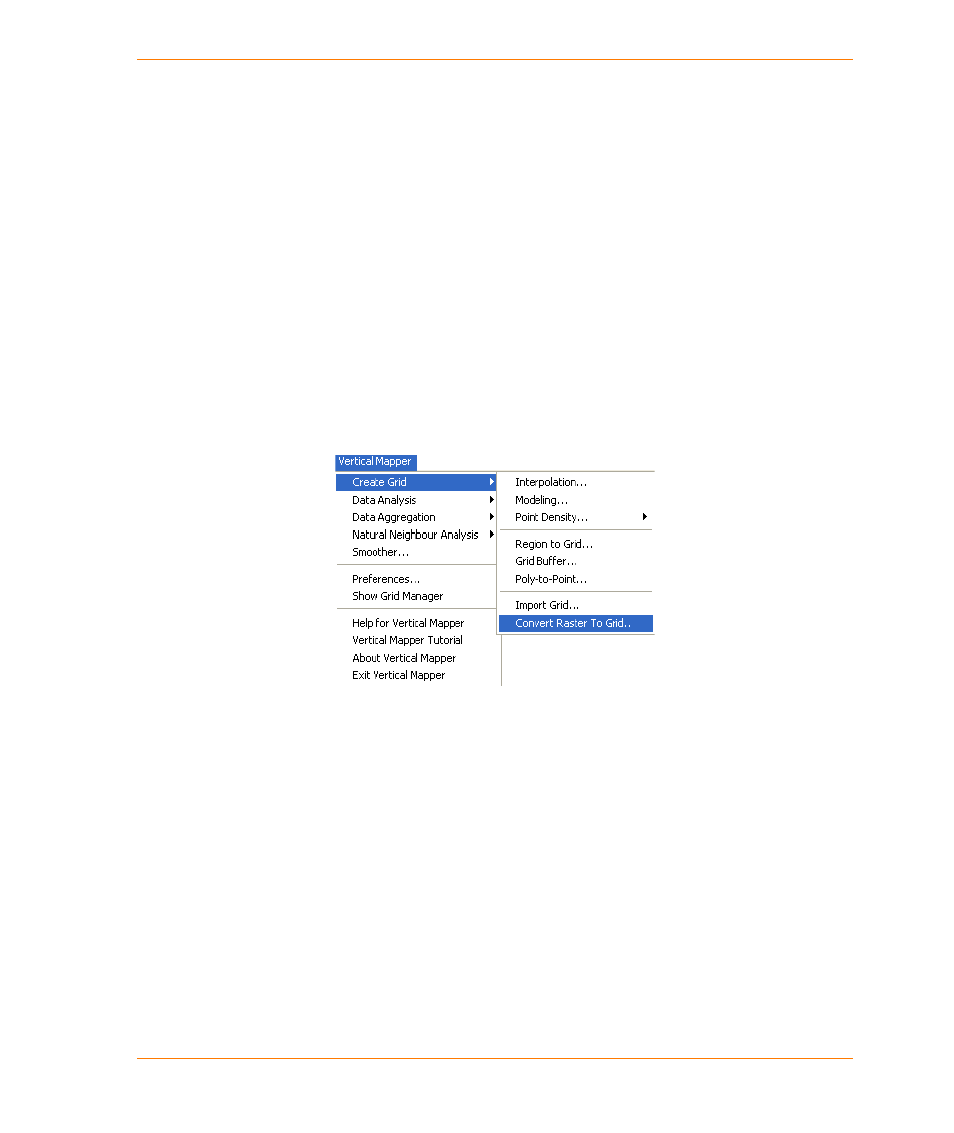
1. From the Vertical Mapper menu, choose the Create Grid > Convert Raster To Grid command.
.
Note As a pre-requisite for converting a raster table into grid, you should have the
corresponding raster tab file open in MapInfo Professional.
2. If you have multiple raster files open, the Select Raster File dialog box gets displayed. Select the
raster file you want to convert to grid from this dialog box and click OK.