Pitney Bowes MapInfo Vertical Mapper User Manual
Page 21
Chapter 2: Understanding Grids
User Guide
19
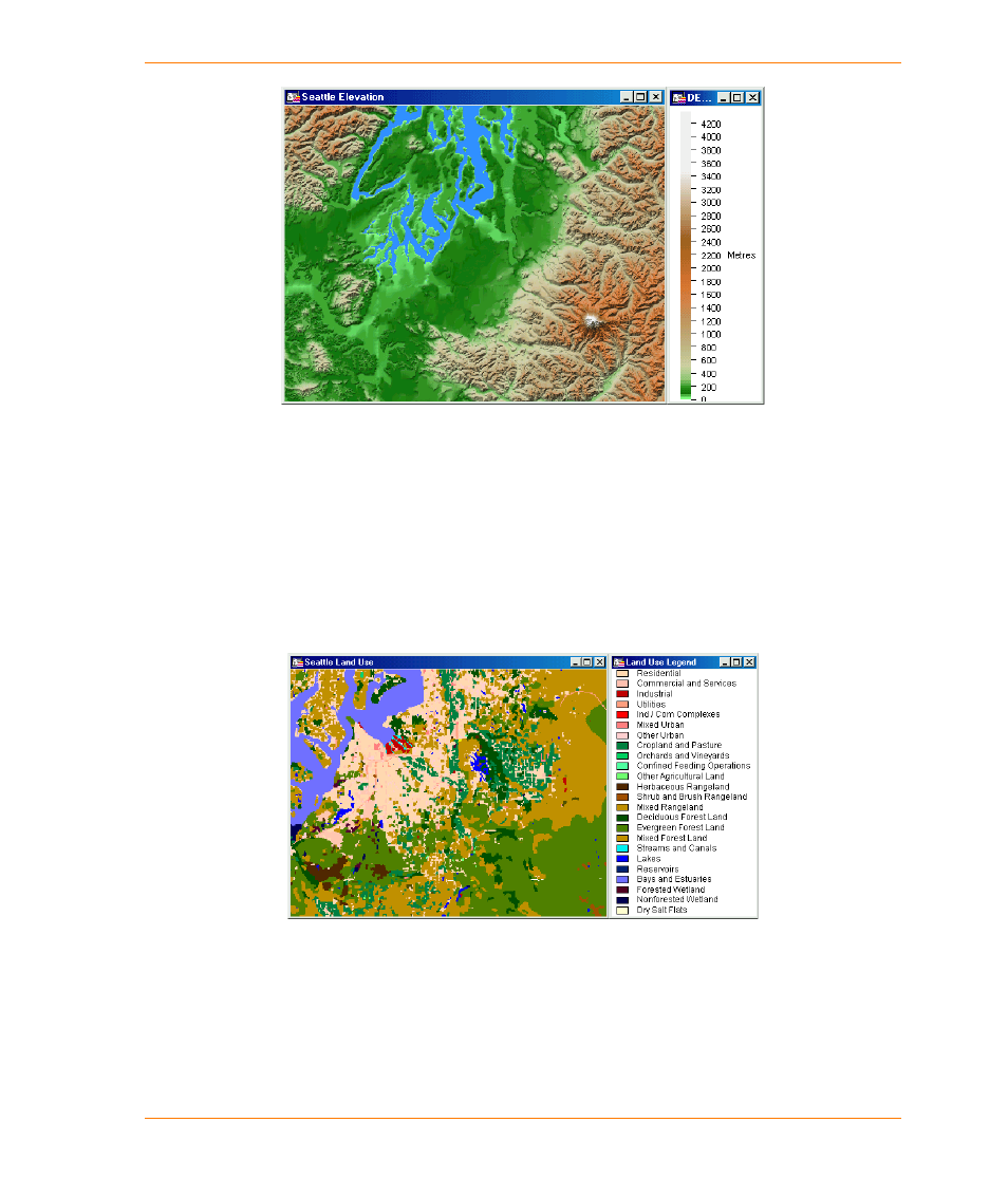
An example of a numeric grid showing the continuous variation of elevation across an
area.
Classified Grids
Classified grids are best used to represent information that is more commonly restricted to a defined
boundary. They are used in the same way that a MapInfo Professional region is used to describe a
boundary area, such as a land classification unit or a census district. In this case, the grid file does
not represent information that varies continuously over space. In the next figure, a land classification
grid displays each grid cell with a character attribute attached to it that describes the land type
underlying it. In Vertical Mapper, classified grid files are given the extension .grc.
An example of a classified grid representing land use where each cell is referenced to
a descriptive attribute.