6 intersection information, 6 intersection information -41, Gps navigation – Garmin G1000 Quest Kodiak User Manual
Page 157
190-00590-00 Rev. C
Garmin G1000 Pilot’s Guide for the Quest Kodiak 100
GPS NAVIGATION
5-41
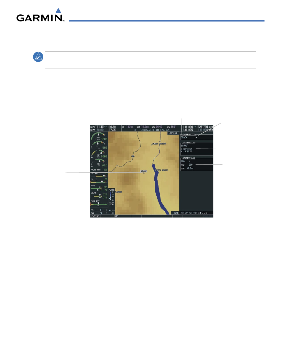
5.6 INTERSECTION INFORMATION
NOTE:
The VOR displayed on the Intersection Information Page is the nearest VOR, not necessarily the VOR
used to define the intersection.
Selecting the Intersection Information Page (Figure 5-34):
1)
Select the WPT page group.
2)
Select the second rectangular page icon. To change the map range, turn the joystick to the left to select a lower
range, turn it to the right to select a higher range. Intersections can only be selected by identifier.
Figure 5-34 Intersection Information Page
Intersection Identifier
Facility Name
Intersection Region
and Position
Nearest VOR
Identifier,
Symbol, Radial
and Distance
Intersection Symbol
Intersection
Displayed on Map
Selecting an intersection:
1)
With the Intersection Information Page displayed, press the FMS
Knob
to activate the cursor.
2)
Enter a name for the identifier.
3)
Press t
he
ENT Key.
4)
Press the FMS
Knob
to remove the flashing cursor.